Download
1 / 16
190 likes | 312 Views
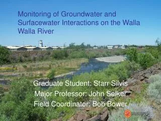
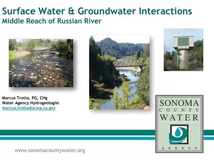
Surface Water & Groundwater Interactions Middle Reach of Russian River. Marcus Trotta, PG, CHg Water Agency Hydrogeologist marcus.trotta@scwa.ca.gov. Russian River Riverbank Filtration System. One of the largest riverbank filtration systems in the world

E N D
Surface Water & Groundwater InteractionsMiddle Reach of Russian River • Marcus Trotta, PG, CHgWater Agency Hydrogeologistmarcus.trotta@scwa.ca.gov
Russian River Riverbank Filtration System • One of the largest riverbank filtration systems in the world • Treatment accomplished via natural filtration. • Only chlorine added as a disinfectant • 6 Collector Wells • 7 Vertical Wells • 5 Infiltration Ponds • Inflatable Dam
Groundwater MovementBetween Recharge and Discharge U.S. Geological Survey Circular 1139
Unconfined alluvial aquifer filled with highly transmissive sands and gravels • Hydraulically connected with Russian River • Alluvial sediments Up to ~100 feet thick near River • Bounded on West by low permeability Franciscan bedrock • Bounded on East by older and less transmissive fluvial deposits (correlative with Glen Ellen Fm) Groundwater Basin Characteristics
Gaining and Losing Streams Stream gains water from groundwater Stream loses water to groundwater Groundwater Mounds beneath the stream US Geological Survey Circular 1139
Assessment Techniques and Methods • Temperature based streambed conductance estimates • Water-Level measurements & vertical gradient analysis • Seepage meters • Surface and groundwater quality studies • Riverbed sediment sampling program • In-situ microsphere studies • Geophysical Methods to Evaluate SW-GW Interactions • Electrical Resistivity • Spontaneous Potential
Measurement of Temperature to CharacterizeSurface and Groundwater Interactions • Since 1998, SCWA/USGS have measured temperature trends of Russian River & shallow groundwater • Estimate hydraulic conductivity & streambed conductance using VS2DH (USGS) • Able to evaluate seasonal trends • Cost-effective method • Results compare favorably with seepage meters
Temperature data showing upward gradient Water level data showing upward gradient