Download
1 / 17
170 likes | 358 Views
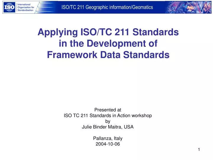
Applying ISO/TC 211 Standards in the Development of Framework Data Standards. Presented at ISO TC 211 Standards in Action workshop by Julie Binder Maitra, USA Pallanza, Italy 2004-10-06. Applying ISO/TC 211 standards to the development of Framework Data Standards. Topics

E N D
Applying ISO/TC 211 Standards in the Development of Framework Data Standards Presented at ISO TC 211 Standards in Action workshop by Julie Binder Maitra, USA Pallanza, Italy 2004-10-06
Applying ISO/TC 211 standards to the development of Framework Data Standards Topics • Framework data themes (slide 3) • Standardization approach (slides 4-5) • Application of key ISO/TC 211 standards (slides 6-13) • ISO 19109 (slides 7-9) • ISO 19115 (slide 10) • ISO 19123 (slides 11-12) • ISO 19136 (slide 13) • Status (slide 14) • Resources (slide 15)
Framework Data Themes Rail Air Roads Elevation Transportation Transit Base Standard Waterways Cadastral Geodetic Control Governmental Units Orthoimagery Hydrography
Standards development approach • Develop standards through procedures established by the American National Standards Institute (ANSI) and InterNational Committee for Information Technology Standards (INCITS). • Bring together subject matter experts from all levels of government (Federal, State, and local), academia, and the private sector to develop data standards for Framework themes • Provide UML modeling support • Transform UML data models into XML/Geography Markup Language schema documents
Geographic Information Standards Activities in the United States Is U.S. member body of ISO Is a Technical Committee of ISO Technical Committee (TC) 211 ISO/TC 211 – Joint Advisory Group (JAG) Accredits INCITS L1 as U.S. TAG to Chairs MOU American National Standards Institute (ANSI) ICSP NIST Is accredited by Reports to InterNational Committee on Information Technology Standards (INCITS) OMB Consortia and Academia Is a Subcommittee of Sets Policy For Participate in standards development Is an advisory member of OMG W3C OASIS etc. Is a voting member of Open Geospatial Consortium State FGDC INCITS Technical CommitteeL1 Municipalities Is strategic member of Other Standards Development Organizations ANSI Accredited Standards Development Organization Federal Standards
Applying ISO/TC 211 standards to the development of Framework Data Standards Key ISO Standards: • ISO 19109, Geographic information - Rules for application schema • ISO 19115, Geographic information - Metadata • ISO 19123, Geographic information - Schema for coverage geometry and functions • ISO 19136, Geographic information – Geography Markup Language
Applying ISO/TC 211 standards to the development of Framework Data Standards Application of ISO 19109 • Use General Feature Model to describe geographic features (applies to geodetic control, cadastral, hydrography, transportation, and government units boundaries themes) • Build Application schema in UML
Application of ISO 19109 Revised UML data model for Governmental Unit Boundaries
Application of ISO 19109 Excerpt from data dictionary for GUB_GovernmentalUnit class
Application of ISO 19115 • Framework Data Standards will be compliant with ISO 19115 • Some elements listed as optional in ISO 19115 are mandatory for Framework Data Standards • examples: Metadata standard name, Metadata standard version, Dataset purpose, Dataset progress, Dataset maintenance and update frequency • ISO 19115 elements closely match elements in FGDC Content Standard for Digital Geospatial Metadata, FGDC-STD-001-1998 (version 2.0); therefore, data standards will be compliant with FGDC standard • FGDC standard lacks metadata elements for language and character set
Application of ISO 19123 • Application of ISO 19123 (for digital orthoimagery and elevation themes) • Digital orthoimagery adopts ISO 19123 classes such as CV_Coverage, CV_ContinuousQuadrilateralGridCoverage, CV_Grid, CV_GridValuesMatrix • Elevation standard models data as simple discrete coverages
Application of ISO 19123 Curve (line) coverage Point coverage Grid coverage Surface coverage The draft elevation standard models data as simple discrete coverages
Application of ISO 19136 • UML data models in .xmi format (defined by OMG) were transformed to XML/Geography Markup Language (GML) schemas through UGAS software tool • The XML/GML schema documents can be used to create, validate, and process geographic information with XML parsing and validation software. • Activity supported through Information Interoperability component of the Open Geospatial Consortium’s Open Web Services 2.0 Testbed
Status of Framework Data Standards • Standards project is registered as INCITS Project 1574-D, Geographic Information – Framework Data Content Standard • Objective is an American National Standard (ANS) • Standards initially developed through Geospatial One-Stop e-government initiative, but FGDC has assumed leadership for further development • Draft standards out for public review until October 30, 2004 • The FGDC funded projects across the U.S. to serve and use Framework data over the web using the Open Geospatial Consortium’s Web Feature Service (WFS) specification.
Resources • FGDC, www.fgdc.gov • Framework Standard Registered Review site, http://www.fgdc.gov/RReview • INCITS Technical Committee L1, www.incits-l1.org • INCITS, www.incits.org • Open Geospatial Consortium (formerly OpenGIS Consortium), www.opengeospatial.org • “A Clear Vision of the NSDI” from Geospatial Solutions, http://www.geospatial-online.com/geospatialsolutions/article/articleDetail.jsp?id=89953 • UGAS, http://www.interactive-instruments.de/ugas • Schema Subsetting Tool from Galdos, http://sourceforge.net/projects/gascom • Object Management Group, http://www.omg.org (UML specification and .xmi format) • W3C, http://www.w3c.org (XML specification)
Thank you ! (Ms.) Julie Binder Maitra Federal Geographic Data Committee (FGDC) 590 National Center 12201 Sunrise Valley Drive Reston, Virginia 20192 USA Email: jmaitra@usgs.gov Phone: +1 703 648 4627 Fax: +1 703 648 5755