Fossil Butte
60 likes | 243 Views
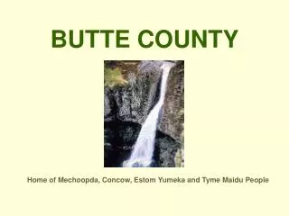
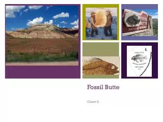
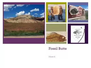
Fossil Butte. Claire S. Map it out!. Map of tectonic plates – Fossil Butte National Monument, U. S. A. Fossil Butte. The foundation of this park….

Fossil Butte
E N D
Presentation Transcript
Fossil Butte Claire S.
Map it out! Map of tectonic plates – Fossil Butte National Monument, U. S. A. Fossil Butte
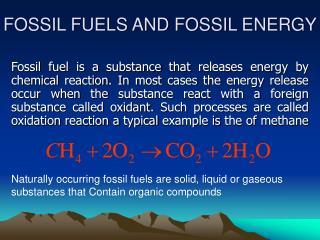
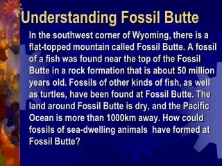
The foundation of this park… On October 23, 1972, Fossil Butte National Park was declared a park to try to preserve it’s almost completely unharmed fossils. This park was, and continues to be to this day, the best paleontological record of tertiary aquatic life in the past. These fossils are from the Green River lake beds. Fish found in Fossil Butte:
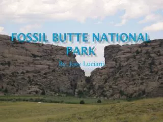
The park was formed…( geological perspective) The park could have been formed by two convergent plates smashing together, and one going upwards, creating a mountain, which is exactly what the park is, a big mountain with fossils compacted into the inside. This park could also have been formed by two tectonic plates smashing into each other, making both ends go upwards, forcing the fossils on the bottom of both to go up to the center of the mountain. Convergent boundary Tectonic plates making a mountain
Rocks Rock! The rocks in Fossil Butte are sedimentary, and you can tell by looking at the picture of the monument on the title screen because if you were to look closely, you could see different layers of rock, and two examples of the rock that you might find here are shale and gypsum. Fossil Butte Picture Shale Gypsum
Now, Let’s look at the rocks… …Seprately!!!!!!!!!!!!!1