Download
1 / 22
220 likes | 314 Views
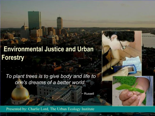
Truck Routing and Environmental Justice. Talking Freight: Freight and Livability June 15, 1022 Michael Kray, Atlanta Regional Commission. Agenda. Base Transportation Network Land Use Environmental Justice Groups Methodology. Roadway Network Analyzed. N. Land Use by Color.

E N D
Truck Routing and Environmental Justice Talking Freight: Freight and Livability June 15, 1022 Michael Kray, Atlanta Regional Commission
Agenda • Base Transportation Network • Land Use • Environmental Justice Groups • Methodology
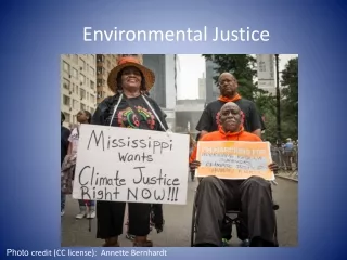
Environmental JusticeCensus Block Groups • Poverty • More than 9.1% of block group in poverty • Race • More than 30.4% African American • More than 3.6% Asian • More than 7% Hispanic • Age • More than 9.6% over 65 living in poverty • More than 18.1% under 11 living in poverty
Percentage of Block Groups with EJ presence within ½ mile of RPFHN
Methodology • Half mile buffer around RPFHN • Analyzed Land Use and Demographic Data EJ Presence Freight Intensity
Methodology • Half mile buffer around RPFHN • Analyzed Land Use and Demographic Data EJ Presence Freight Intensity
Methodology • Half mile buffer around RPFHN • Analyzed Land Use and Demographic Data EJ Presence Freight Intensity
Methodology • Half mile buffer around RPFHN • Analyzed Land Use and Demographic Data EJ Presence Freight Intensity
Elementary Schools within ¼ mile of freight intensive land use (306 of 519 or 59%)
Elementary Schools Within ½ Mile of Final Truck Network (176 of 519or 34%)