Download
1 / 24
240 likes | 332 Views
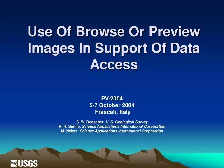
Use Of Browse Or Preview Images In Support Of Data Access. PV-2004 5-7 October 2004 Frascati, Italy S. W. Doescher , U. S. Geological Survey R. H. Sunne , Science Applications International Corporation M. Neiers , Science Applications International Corporation. Agenda. Introduction

E N D
Use Of Browse Or Preview Images In Support Of Data Access PV-2004 5-7 October 2004 Frascati, Italy S. W. Doescher, U. S. Geological Survey R. H. Sunne, Science Applications International Corporation M. Neiers, Science Applications International Corporation
Agenda • Introduction • Strategy/philosophy • Early definitions • Radiometric adjustment • Resolution reduction • Opportunities for browse refinement • Current uses of browse • CEOS community characterization of browse usage • Observations
Introduction • For more than 30 years, the U. S. Geological Survey (USGS) Earth Resources Observation Systems (EROS) Data Center (EDC), Sioux Falls, SD, has provided access to multiple terabytes of remotely sensed imagery of the earth's surface. • In 1990s, the advent of the Internet and online systems created a need for browse (or preview imagery) to assist with locational identification and quality review of the archival holding of remotely sensed data.
Strategy/philosophy • Purpose of Browse • To provide user assistance in determination of usability of an unique inventory item • Reasons for browse • Determining extent and location of clouds • Observing quality problems such as speckling, line drops, and sun glint • Confirming geographical location and area of coverage
Strategy/philosophy • General Philosophy • Browse prepared independently of characteristics of devices used to display • Provide similarity of browse across different inventory • Targeted size of browse imagery is less than .5 megabytes • Produced by reduction in spatial resolution and band representation • Minimize impact of browse generation • Reference or locational information to be maintained separately
Early definitions • The initial focus of browse • Advanced Very High Resolution Radiometer (AVHRR) • Landsat Multi-Spectral Scanner (MSS) • Landsat Thematic Mapper (TM) • Early discussions on AVHRR browse options • Single band browse • Every 4th line and every 5th sample • 10-bit data were reduced to 8-bit • Band 2 was used for daytime data, and band 4 was used for nighttime data • Resultant size 0.51 MB • Multi-band browse • Same data reduction as the single band above, but for all bands • Provided a “custom" browse option • Potential “custom” examples • color browse (uses recipe RGB:2,1,1) • normalized difference index or greenness image • Shark Classes (Sea, Sun Glint, Land, Cloud, Snow/Ice) • Selection of the single band browse was driven by technology considerations
Early definitions • Similar discussion were held with Landsat • For Landsat initially provided multi band • individual bands and • color composite options • Usage quickly determined that color option was preferred
Radiometric adjustment • Typically dynamic range of the image is narrow and stretching adjustments can improve the visibility for the user • The browse stretch points are determined by using the histogram of the browse image • The lower stretch point ranged between the points of 2.5 percent and 97.25 percent of the accumulated histogram
Radiometric adjustment With radiometric adjustment Without radiometric adjustment
Resolution reduction • Early processing reduced resolution by simple sub sampling process • In the 1995, wavelet processing uses a convolution filter that preserves the high frequencies or edges as the filter is passed over the image. A separate pass of the wavelet process was required for a halving of the resolution. Three passes required for eight-fold reduction • Recent experimentation with a “pnmscale” produced comparable results to the wavelet process, but requires less processing time than the three passes of the wavelet process • In all cases, JPEG, with a quality factor of 75, was selected as the compression method and delivery format
Resolution reduction Sub sample 14 sec Wavelet 31 sec Pnmscale 24 sec
Opportunities for browse refinement • In 1992, the EROS Data Center began operations of TM and MSS Archive Conversion System (TMACS) • Transcribe high-density tape to DCRSi Cassette Tapes (DCT) output. • MSS sub sampled every 6th line and every 6th sample • TM sub sampled at every 16th line and every 16th sample • Presently, starting operations of the Landsat Archive Conversion System (LACS) • Transcribe DCTs to 9940B tape • MSS via “pnmscale” reduced by factor of 4 • TM via “pnmscale” reduced by factor of 8 • Processing applied to three bands for RGB color composite • The reduced resolution image bands are stretched, composited, and JPEG compressed with a quality factor of 75 to a generation formatted browse • A JPEG comment field is added with the appropriate metadata information
Current uses of browse • Traditionally, Earth Observing search systems • User specifies desired characteristics • Metadata inventories are searched • Search results contain a pointer to the browse • Example: Earth Explorer http://earthexplorer.usgs.gov • Recently, some systems have evolved to “browse first.” • User with an image-based mechanism • browse used as primary mode of guidance • Example: Glovis http://glovis.usgs.gov
CEOS community characterization of browse usage Committee on Earth Observation Satellites (CEOS) community • Civil agencies involved in earth observation activities • Provided updates to browse characteristics available for remotely sensed data • More than 60 sensor instruments characterized in paper
Observations • Over the last 10 years of browse usage • Cost of online storage has decreased • End user’s network bandwidth has increased • Resolution and composition of browse has improved • However • archives have grown from terabytes to petabytes • it is still cost prohibitive to put all data online • There continues to be a need for browse or quick look products to facilitate the quality and locational review of the archival holding of remotely sensed data