Download
1 / 12
130 likes | 284 Views
THE USE OF GIS IN RESPECT TO DEEP SEA MINERALS PROJECT. Presenter: Seruwaia Vasukiwai Deep Sea Minerals Project Ocean & Islands Programme SOPAC Division of SPC. OUTLINE. DEEP SEA MINERALS PROJECT DEEP SEA MINERALS DATA PURPOSE OF THIS MARINE GEOLOGICAL SURVEYS

E N D
THE USE OF GIS IN RESPECT TO DEEP SEA MINERALS PROJECT Presenter: Seruwaia Vasukiwai Deep Sea Minerals Project Ocean & Islands Programme SOPAC Division of SPC
OUTLINE • DEEP SEA MINERALS PROJECT • DEEP SEA MINERALS DATA • PURPOSE OF THIS MARINE GEOLOGICAL SURVEYS • WHAT TYPE OF DATA IS AVAILABLE • CHALLENGES • CONCLUSION
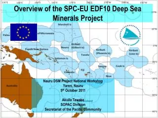
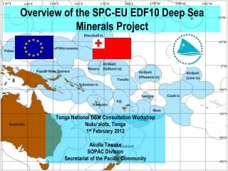
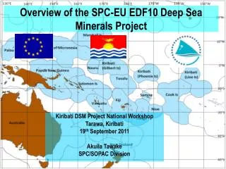
DEEP SEA MINERALS PROJECT • Deep Sea Minerals (DSM)Project is funded by the European Union under the 10th European Development fund for a period of 4 years • DSM project started in 2011 • The project has four key result areas: Seafloor Massive Sulphides Manganese nodule Cobalt-rich Crust
Development of Regional Legislative and Regulatory Frameworks (RLRF) for offshore minerals exploration and mining • 2. Formulation of National policy, legislation and regulation • 3. Building national capacities • 4. Effective management and monitoring of offshore exploration and mining operations. • The project is implemented in fifteen Pacific Island Countries
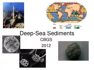
Deep Sea Minerals Data • Introduce the Japan/SOPAC marine minerals surveys from 1985 to 2005 • There were 12 countries surveyed • Nauru, Timor Leste and Palau – Not in the survey • Palau – CRC – Data sourced from the USGS
Purpose of this marine geological surveys: To assess the deep seafloor mineral resource potential in selected areas of the Exclusive Economic Zones (EEZ) of twelve PICs .
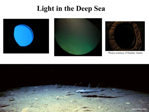
What Type of Data is Available – Survey Reports • Survey Reports • Photographs of Manganese Nodules Metal Concentration Seafloor Topography 04/29/13
What Type of Data is Available – GIS Files Cook Islands
HOW THE DATA WILL BE PRESENTED • Regional Marine Minerals Database (RMMD) • Apart from the data we have of the countries, we encourage that if countries have other existing or recently acquired DSM data – if we could have this also projected together with the existing data we already have Link: http://geonetwork.sopac.org/geonetwork
Purpose of the RMMD • Purpose: • Act as a back-up Data Repository System – Maintaining Data Confidentiality • One-stop shop for any information relating DSM in the region • Progress: • All Deep Sea Minerals Data and Metadata will be part of the RMMD – work in progress • RMMD will be part of a larger data repository system (PACGEO) that is currently being developed in partnership with Geoscience Australia and UNEP/GRID • Up and Running 2014
CHALLENGES • The main challenge in Geoferencing these data from different countries is the different UTM’s used by different countries in the Pacific thus making it hard to geoferencing each point as we need to convert it to the standard UTM before projecting/ overlay on to Google earth
CONCLUSION • Continuation of georeferencing of points for the member Pacific Island Countries • Preparing all dataset and data to be transferred to the RMMD in the near future