Download
1 / 29
290 likes | 344 Views
Explore the factors shaping global atmospheric circulation, components like winds and pressure systems, and how they influence regional climate. Learn about circulation models and how rotation redistributes heat, creating weather patterns. Discover impacts on regions like California, the Pacific Northwest, and Kentucky, all under global controls.

E N D
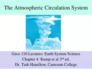
Global atmospheric circulation List/describe factors that shape global atmospheric circulation Describe/draw global atmospheric components (winds, pressure systems) of the three-cell model Explain how components shape regional patterns of climate
Circulation without rotation (no Coriolis Force) on a uniform surface(no land/water differences) and no tilt (no differential heating between hemispheres)
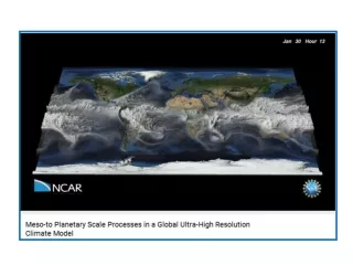
Circulation with rotation, on non-uniform surface, and tilt (the 3-cell model)
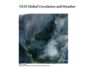
Global atmospheric circulation redistributes heat from the tropics to the poles
Intertropical convergence zone (ITCZ) • Belt of low air pressure around equator • Forms from surface heating • Associated with clouds and rain • Current position
Subtropical high pressure • Semi-permanent high pressures along 20 - 35 degrees N and S latitude
The Atlantic STHP can bring drought conditions to the southeastern US when it moves closer to the North American continent. The Atlantic STHP can bring rainfall is its location is sufficiently offshore from North America to allow its winds to pick up moisture and become unstable.
Tradewinds and westerlies • Air descending from the STHP forms • Northeast tradewinds • Westerlies
Polar high • Deep, cold high pressure • Descending air forms the polar easterlies
Polar front • Zone of collision between westerlies and the easterlies
Polar front • Very changeable weather
Midlatitude cyclones, storm system that travel along the polar front
Subtropical jet stream Branch of subtropical jet stream that brings moisture up from tropics to enhance precipitation within mid-latitude cyclones
California coast (32 – 42N) • Summer dry • Pacific STHP dominant • Dry conditions • Track of cyclones along polar jet stream is further north • Winter wet • Pacific STHP diminishes and high pressure shifts south and offshore • Midlatitude cyclones bring precipitation
Pacific Northwest coast (40 – 50 N) • Greater year-round influence of polar front • More rainfall, more evenly distributed all seasons • Weaker influence of STHP in the summer moving north
Kentucky weather and climate and their global controls • Winter – MLCs create alternating periods of cold and dry then warmer and humid conditions. Rainfall in winter is derived from the fronts in the MLCs • Summer – weather and climate under more local controls, fewer MLCs. Rainfall from locally generated convective thunderstorms with the occasional enhancement due to weak cold fronts and polar jet stream support