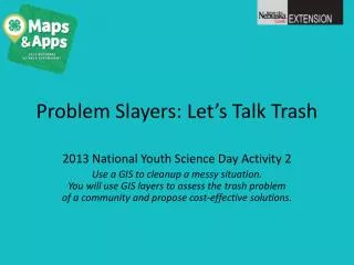
Problem Slayers: Let’s Talk Trash
Join us for a hands-on National Youth Science Day activity where you'll learn to use GIS (Geographic Information Systems) to assess trash issues in your community. By plotting trash and recycling data on maps, you will identify key areas needing attention. Collaborate with your team to design effective solutions for waste management, culminating in a meeting with the Mayor to propose a budget-friendly plan. This engaging experience will enhance your understanding of geographic inquiry processes and contribute to community improvement.

Problem Slayers: Let’s Talk Trash
E N D
Presentation Transcript
Problem Slayers: Let’s Talk Trash 2013 National Youth Science Day Activity 2 Use a GIS to cleanup a messy situation. You will use GIS layers to assess the trash problem of a community and propose cost-effective solutions.
Layers --- STREETS --- LAND USE --- ADMIN AREAS --- HYDROGRAPHY --- ELEVATION --- IMAGERY
1. Start Plotting • Team up. • Use the trash data chart to plot the locations of various trash and recyclables.
2. Compare Information What observations can you make?
3. Clean it up • Identify areas where you feel a trash/recycling receptacle should be placed. Plot them on a blank sheet. • Compare your map with other groups.
4. Meet with the Mayor • After meeting with the mayor, you learn you have $300 to spend to solve this problem.