Spatial Query Language
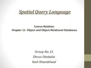
Spatial Query Language. Course Relation- Chapter 11- Object and Object-Relational Databases. Group No.15 Dhruv Dhokalia Yash Khandelwal. MOTIVATION. Databases required for data type rich applications such as: - Spatial Databases ( eg . Google Maps)

Spatial Query Language
E N D
Presentation Transcript
Spatial Query Language Course Relation- Chapter 11- Object and Object-Relational Databases Group No.15 DhruvDhokalia YashKhandelwal
MOTIVATION • Databases required for data type rich applications such as: - Spatial Databases (eg. Google Maps) - Designing Databases (eg. CAD/CAM, 3-D printing) • These applications require: -Complex structures for storing data -New data types- for images, videos & other multimedia
RDBMS Data types Char Int Date Number Varchar ODBMS Data types Point LineString Polygon MultiPoint S E M A N T I C GA P
Spatial Query Example CREATE TABLE Country( Name Varchar(30), Continent Varchar(30), Population Integer, GDP Number, Shape Polygon); CREATE TABLE River( Name Varchar(30), Origin Varchar(30), Length Number, Shape LineString);
Spatial Query Example(cont.) Find the names of all the countries that are neighbors of USA in the country table. SELECT C1.Name AS “neighbors of USA” FROM Country C1, C2 WHERE Touch (C1.Shape, C2.Shape)= 1 AND C2.Name= “USA”;
Spatial Query Example(cont.) List the length of all the rivers in each of the countries they pass through SELECT R.Name, C.Name, Length(intersection(R.Shape, C.Shape)) AS Length FROM River R, Country C WHERE Cross (R.Shape, C.Shape)=1;
References • Spatial Databases- A TOUR By ShashiShekhar; Sanjay Chawla • Fundamentals of Database Systems By Elmasri & Navathe; 6th Edition • About 3-D Printing http://www.3ders.org/3d-printing-basics.html • Latest on 3-D printing http://www.cnn.com/2013/11/08/tech/innovation/3d-printed-metal-gun/index.html?hpt=te_r1