Download
1 / 9
90 likes | 196 Views
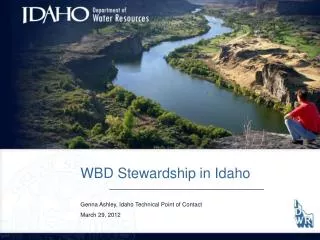
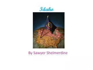
Idaho Stewardship. Hydrography. Idaho. 83,557 square miles with about 1.5 million people. 14 th largest state in the US, but 44 th in population density . Annual rainfall from less than 10 inches per year to over 60 inches per year 65% federal or tribal, 5 % state, 30% private

E N D
Idaho Stewardship Hydrography
Idaho • 83,557 square miles with about 1.5 million people. • 14th largest state in the US, but 44th in population density. • Annual rainfall from less than 10 inches per year to over 60 inches per year • 65% federal or tribal, 5 % state, 30% private • 7.8 million acres of land used for agriculture – 180,000 miles of streams and/or canals
Water Issues Most of the agriculture in the southern part of the state is irrigated though canals and diversions Western water law states ‘first in time – first in right’ Competing water uses Interstate coordination is needed for Columbia River Basin and Bear Basin
MOU with USGS – signed in August, 2007 • USGS POC is Hank Nelson, Liaison is Scott Van Hoff • IDWR is chair of the Hydrography and Watershed State Technical Working Groups • Web site at www.idwr.idaho.gov/hydrography • Linda Davis – Principal Steward for Idaho • Wilma Robertson - Technical POC Idaho
How NHD Can beApplied Water accounting – modeling with diversions Linear referencing for fish, habitat, water quality, minimum stream flow, wild and scenic Dam Safety – modeling water quantity upstream and hazards downstream Hazard Modeling - flooding
Issues • What is challenging – • Communication for GNIS after names have been submitted using online web application. • Notification to Steward by GNIS when name has been accepted or denied would be helpful. • Stream name protocol for Federal Agencies needs clarification (Forest Service, BLM) • NHD tools require time and effort • Continue to work on improving tools, USGS weekly phone calls and USGS support. • Working on tools for local stewards to submit updates
Issues • What is working – • Support from IDWR management, Idaho hydrography community and USGS • Collecting data from local agencies and submitting that information to the National Database • Soliciting changes from local agencies where we know changes are needed • Quarterly meetings though a hydrography working group
Idaho State Contacts • Linda Davis – • Linda.Davis@idwr.idaho.gov • Wilma Robertson – Technical POC NHD • Wilma.Robertson@idwr.idaho.gov • Genna Ashley-Poulson – Technical POC WBD • Genna.Ashley@idwr.idaho.gov