Drone Solutions for Mines
890 likes | 1.55k Views
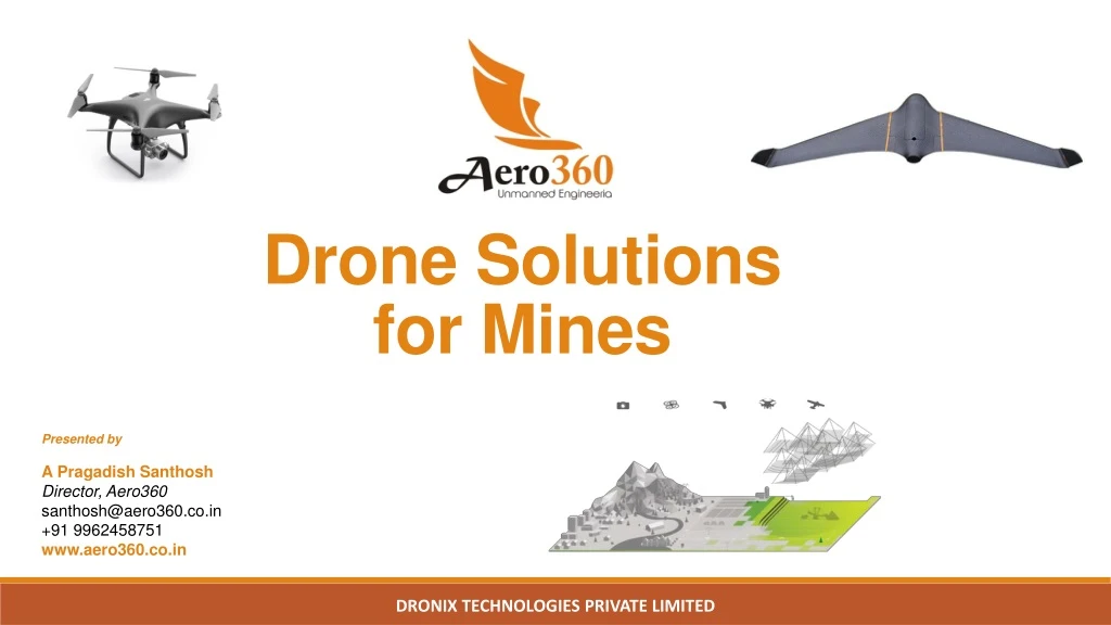
Drone Solutions for Mines. Presented by A Pragadish Santhosh Director, Aero360 santhosh@aero360.co.in +91 9962458751 www.aero360.co.in. Govt. Initiative.

Drone Solutions for Mines
E N D
Presentation Transcript
Drone Solutions for Mines Presented by A PragadishSanthosh Director, Aero360 santhosh@aero360.co.in +91 9962458751 www.aero360.co.in DRONIX TECHNOLOGIES PRIVATE LIMITED
Govt. Initiative • The Ministry of Mines launched MSS (Mine Surveillance System) based on the vision of our Hon`ble Prime Minister of India, Mr. Narendra Modi who emphasized on the role of Space Science for achieving good governance. • To curb illegal mining in the country, the mines ministry is promoting use of drones and has asked states/public-sector undertakings (PSUs) to consider using unmanned aerial vehicles (UAVs) for . • For mining PSUs • 3D modelingand digital elevation modeling of mines for efficient mine planning. • Volumetric analysisof the extractions and dumps • Reclamation studies using the ortho-photography • Lease boundary fixation using the on-board GPS of drones. • For exploration work • Carrying out initial aerial surveyof the area to help in planning for taking up exploration Activities • Physical terrain mapping and segregation of land use • Surveying and mapping of forests • Detailed study like contour mapping and etc. • For States and IBM: • Lease boundary verifications and geo-referencing of the leases. • Carrying out aerial surveys at regular intervalto study the difference in patterns which in turn can be used for analyzing the mining activities. • Monitoringof illegal mining activities, even in cases of sand mining' DRONIX TECHNOLOGIES PRIVATE LIMITED
Drone? • A Drone also known as Unmanned Aerial Vehicle(UAV) is a powered aerial vehicle that does not carry a human operator. • Drones, (UAVs) are either controlled by a person on the ground or autonomously via a computer program. • Drones carrying a camera & in-built GPS can collect high-resolution geo-referenced aerial images can be useful for Infrastructure & Mining applications. DRONIX TECHNOLOGIES PRIVATE LIMITED
Types of Drones Multicopter Fixed Wing DRONIX TECHNOLOGIES PRIVATE LIMITED
Applications of Drones 3D Model of the entire mine can do more than what we can imagine! • TOPOGRAPHIC SURVEY • VOLUMETRIC MEASUREMENTS • HAUL ROAD DESIGNS • BLASTING ANALYSIS • GENERAL PROJECT OVERSIGHT • PERIMETER ANALYSIS • ENVIRONMENTAL ANALYSIS • ENCROACHMENTS • MINE CLOSURE DRONIX TECHNOLOGIES PRIVATE LIMITED
Drone Data Products Drones providing aerial Images with GPS co-ordinates can provide various information for all GIS related applications. POINT CLOUD CONTOUR DIGITAL ELEVATION MODEL ORTHO PHOTO DRONIX TECHNOLOGIES PRIVATE LIMITED
MINE SITE OVERVIEW &TOPOGRAPHIC • SURVEY • Perform Vegetation analysis & Encroachment detection • Carry out Perimeter analysis monthly/quarterly /half-yearly to check mine boundaries • Plan day-to-day activities with up-to-date aerial map with a resolution of 2cm/pixel • Identify break lines, fixures, cracks across the site • Continuous monitoring of mine operations to track changes in volume and mine topography DRONIX TECHNOLOGIES PRIVATE LIMITED
VOLUMETRIC MANAGEMENT • Digital way for calculation of stockpiles, extraction volumes, waste pilesto track production. DRONIX TECHNOLOGIES PRIVATE LIMITED
MANAGE BLAST PERFORMANCE • Receive the pre and post-blast digital elevation model(DEM) of an area that digitally defines the bench and profiles, yielding data to utilize for drill planning and improvement. Additionally, view blast in slow motion to see detailed blast behavior DRONIX TECHNOLOGIES PRIVATE LIMITED
HAUL ROAD OPTIMIZATION • Accurate high resolution aerial imagery can assist in optimal road design, • planning, construction and improvement DRONIX TECHNOLOGIES PRIVATE LIMITED
Workflow DRONIX TECHNOLOGIES PRIVATE LIMITED
Ministry of Mines recommended UAV Applications • Geology • Hydrology • Construction • Mineral exploration • Heritage & environmental management • Legal • Community • Short-term planning • Long-term planning • Drill & blast DRONIX TECHNOLOGIES PRIVATE LIMITED
Data Outputs - Comparisons www.aero360.co.in
Benefits of Drone Survey DRONIX TECHNOLOGIES PRIVATE LIMITED