Download
1 / 28
280 likes | 400 Views
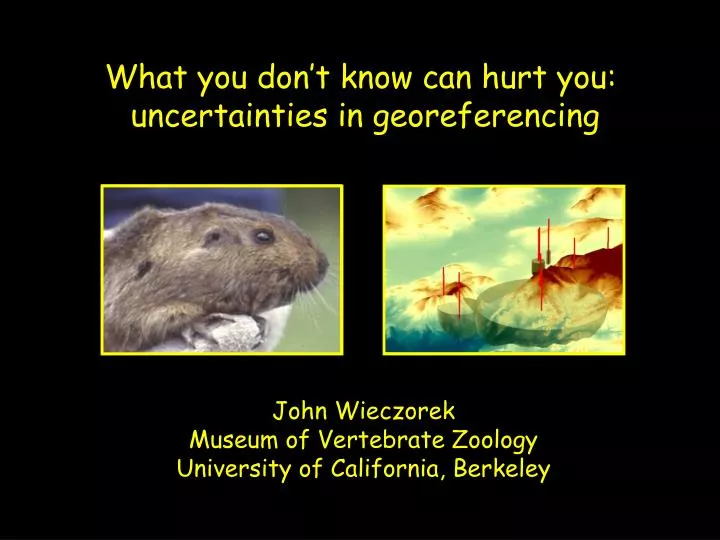
What you don’t know can hurt you: uncertainties in georeferencing. John Wieczorek Museum of Vertebrate Zoology University of California, Berkeley. Uncertainties. What comes out of a system depends on: what goes into it what you ask of it what happens in between.

E N D
What you don’t know can hurt you: uncertainties in georeferencing John Wieczorek Museum of Vertebrate Zoology University of California, Berkeley
Uncertainties • What comes out of a system depends on: • what goes into it • what you ask of it • what happens in between
What species occur where? • Basis for: • conservation • bio-prospecting • entertainment • survival?
What species occur where? species identification
What species occur where? occurrence location
What species occur where? occurrence location Problem: most original data are in textual form Problem: collection resources are scarce and can’t support large-scale digitization
What species occur where? What can Biodiversity Informatics do? Taxonomic Resolution Services
What species occur where? What can Biodiversity Informatics do? Taxonomic Resolution Services Georeferencing Services
What we have:Localities we can read ID Species Locality 1 Lynx rufus Dawson Rd. N Whitehorse 2 Pudu puda cerca de Valdivia 3 Canis lupus 20 mi NW Duluth 4 Felis concolor Pichi Trafúl 5 Lama alpaca near Cuzco 6 Panthera leo San Diego Zoo 7 Sorex lyelli Lyell Canyon, Yosemite 8 Orcinus orca 1 mi W San Juan Island 9 Ursus arctos Bear Flat, Haines Junction
What is a georeference? A numerical description of a place that can be mapped.
“Davis, Yolo County, California” Coordinates: 38.5463 -121.7425 Horizontal Geodetic Datum: NAD27 “point method”
What is an acceptable georeference? A numerical description of a place that can be mappedand that describes the spatial extent of a locality and its associated uncertainties.
Sources of uncertainty Scale Uncertainty (ft) Uncertainty (m) 1:1,200 3.3 ft 1.0 m 1:2,400 6.7 ft 2.0 m 1:4,800 13.3 ft 4.1 m 1:10,000 27.8 ft 8.5 m 1:12,000 33.3 ft 10.2 m 1:24,000 40.0 ft 12.2 m 1:25,000 41.8 ft 12.8 m 1:63,360 106 ft 32.2 m 1:100,000 167 ft 50.9 m 1:250,000 417 ft 127 m • 1) Map inaccuracy • 2) Extent of the reference • 3) Coordinate imprecision • 4) Undocumented datum • 5) Distance imprecision • 6) Direction imprecision
“Davis, Yolo County, California” Coordinates: 38.5486 -121.7542 38.5450 -121.7394 Horizontal Geodetic Datum: NAD27 “bounding-box method”
“Davis, Yolo County, California” Coordinates: 38.5468 -121.7469 Horizontal Geodetic Datum: NAD27 Maximum Uncertainty: 8325 m “point-radius method”
What is an ideal georeference? A numerical description of a place that can be mappedand that describes the spatial extent of a locality and its associated uncertaintiesas well as possible.
“Davis, Yolo County, California” “shape method”
“20 mi E Hayfork, California” “probability method”
Method Comparison point easy to produce no data quality bounding-box simple spatial queries difficult quality assessment point-radius easy quality assessment difficult spatial queries shape accurate representation complex, uniform probability accurate representation complex, non-uniform
Point-radius Method Global Biodiversity Information Facility (GBIF)
Semi-automated Georeferencing Tools
(a) (b) (c) (d) Rowe, 2005. Elevational gradient analysis ofhistorical museum specimens: a cautionary tale
Rowe, 2005. Elevational gradient analysis ofhistorical museum specimens: a cautionary tale
What species occur where? • Conclusions: • We can help users find relevant records • 2) We can help users assess data quality and fitness for use • 3) In the end, users must exercise due diligence. Without 1) and 2), they can’t.