Download
1 / 12
120 likes | 210 Views
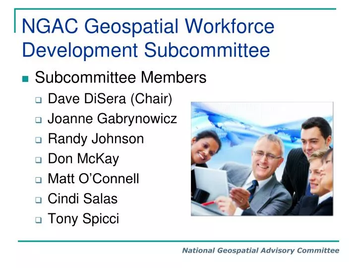
NGAC Geospatial Workforce Development Subcommittee. Subcommittee Members Dave DiSera (Chair) Joanne Gabrynowicz Randy Johnson Don McKay Matt O’Connell Cindi Salas Tony Spicci. NGAC Geospatial Workforce Development Subcommittee. Purpose:

E N D
NGAC Geospatial Workforce Development Subcommittee • Subcommittee Members • Dave DiSera (Chair) • Joanne Gabrynowicz • Randy Johnson • Don McKay • Matt O’Connell • Cindi Salas • Tony Spicci
NGAC Geospatial Workforce Development Subcommittee Purpose: Provide recommendations on approaches to develop intergovernmental and public-private strategies to facilitate the development, training, and retention of a highly skilled workforce to meet the expanding geospatial needs of public and private-sector organizations. Examine opportunities for synergies with the Administration’s Science, Technology, Engineering, and Mathematics (STEM) education initiatives.
NGAC Geospatial Workforce Development Subcommittee • Activity 1: Examine opportunities for synergies with the Administration’s STEM education initiatives. • Members: Matt O., Don M., and research assistance from Uyen Dinh • Activity 2: Review activities of the President’s Council of Advisors for Science and Technology (PCAST) and linkageswith STEM and 21st Century Geospatial Skills. • Members: Joanne G., Randy J., with assistance from Tricia G. • Activity 3: Assess opportunities to utilize the DOL Geospatial Competency Model to meet Federal/State/Local/Tribal government and private sector needs. • Members: Dave D. & Randy J.
NGAC Geospatial Workforce Development Subcommittee • Activity 4: Review the existing “externally” focused Federal GIS Standard Occupational Classification (SOC) codes and compare to “internally” focused Federal job series codes. • Members: Dave D., with assistance from John M., and research assistance from Edgar Pedroza and Chad Rogers • Activity 5: Assess opportunities to work with geospatial industry associations and educational institutions to identify and document public-private geospatial workforce development best practices. • Members: Cindi S., Tony S.
Activity 1 (and Activity 2 Combined): Key Findings-STEM • President Obama identified STEM education as a "national priority" and established the "Educate to Innovate" campaign in 2009. • Congress passed the “America Competes Act” in 2010 which established the Committee on STEM (CoSTEM) to create an inventory of federal STEM educations activities and develop a 5-year federal STEM education plan. • No single definition exists delineating which subject areas are included in STEM education and programs. • Geography and geospatial technology are often missing from identified STEM degree programs and initiatives. • There is no central location where Federal STEM Programs are administered. Programs are scattered among many agencies, which maintain their own list of STEM degree programs to meet their needs. • There are important studies in progress by CoSTEM and the GAO to inventory, evaluate and coordinate federal STEM programs.
Draft Recommendations It is recommended that: • NGAC and FGDC review and provide comments on the results of the CoSTEM Inventory of Federal STEM Programs, the Report on Federal Coordination, and the updated GAO Report on STEM when they become available. • FGDC promote inclusion of the geography, geospatial studies and geospatial technologies in the STEM programs among FGDC member agencies. • FGDC encourage the Administration to support HR 885 and S 434, Teaching Geography is Fundamental Act of 2011 by writing a letter of support from FGDC Steering Committee to ______________. • FGDC promote awareness among FGDC partner agencies about the importance of opportunities for geospatial technology related grants, such as the NSF’s Geography and Spatial Sciences Program and NOAA’s Cooperative Remote Sensing Science &Technology Center.
Activity 3. Key Findings – Geospatial Competency Model • Training and Development • Identify existing geospatial competencies • Evaluate and assess current employees to determine competency gaps and surpluses • Use coaching, mentoring, training, and recruitment methods that match personnel requirements and future needs • Perform individual developmental planning • Workforce Planning • Identify human capital needs including workforce size, distribution, and competencies • Redeploy or temporarily rotate staff to fill some of the gaps • Reorganizing or restructuring positions or organizations to better leverage resources • Succession Planning • Address skills needed to meet complexities associated with geospatial technology • Identify, develop, and select successors who are the right people with the right skills • Motivate and retain top geospatial talent
Draft Recommendations It is recommended that the FGDC: • Form a partnership with the U.S. Department of Labor to develop mutual goals and projects to establish a clearinghouse for internship, work experience, and service learning programs. • Collaborate with UCGIS and AAG to determine if the Body of Knowledge for GI Science and Technology’s knowledge areas encompasses the breadth of the geospatial technology field from a government perspective. • Partner to develop a competency model for a program of study that provides guidelines for geospatial education (2-year, 4-year, graduate schools and professional societies) programs for government. • Develop a communication infrastructure and methods to facilitate geospatial information exchange, such as a website and e-mail list to facilitate workforce development related communication.
Activity 4. Key Findings – SOC Codes • Occupational classifications focusing on geospatial workforce positions are found under both the BLS Standard Occupational Classifications, as well as under the OPM Federal Occupational Series Codes. • The geospatial field has been transformed by changes in technology regarding cartographic functions, operations, and services. There is a significant opportunity to modernize the schedule of occupational characteristics to address those changes. • Emerging trends in geospatial workforce development have focused on the application of competency models as evidenced by the Geospatial Technology Competency Model. • Revisions to the occupational series codes should be made to reflect advances and changes in technology and industry practices.
Draft Recommendations It is recommended that: • The FGDC partner with the DOI Office of Human Resources to engage OPM in an effort to review, update, and modernize the geospatially-oriented Federal Occupational Series Codes (GS-1370 and GS-1371). The revisions should incorporate themes and approaches from the Geospatial Technology Competency Model. • The FGDC, DOL, and the Federal human resource management community collaborate with non-federal partners to encourage the use and adoption of the Geospatial Technology Competency Model and the updated Occupational Classification Codes and Series. • FGDC partner agencies communicate with their academic partners about the revised occupational codes and competency model to facilitate development of appropriate training and curricula to address emerging geospatial workforce needs.
Activity 5. Key Findings – Institution and Association Practices • Many college/university programs offer GIS coursework and some offer certificate, undergraduate, and graduate programs. • Most of these programs have originated within geography departments, although some reside in other disciplines such as information technology or engineering departments. • Despite a robust educational environment, there has been little effort and collaboration towards a professional development beyond the classroom. • Unlike professional organizations that offer certifications (engineering, surveying), the geospatial community does little to formally link education with real world experience. • A core model for geospatial education should be created and adopted as a collaborative effort between academia, industry, and the geospatial community.
Draft Recommendations It is recommended that the FGDC: • Develop an Education Model for geospatial education as a collaborative effort between academia and the geospatial community. An example is the Model Curricula Project2 developed by the UCGIS Education Committee in 2006. • Create a profession development model allowing students real-world experience to help foster development of their professional career. Professional associations should allow for student membership at a very nominal fee and encourage participation. Along with this, a program should be created to encourage internships, professional presentations at conferences, etc. Example: GITA’s Cheetah’s • Continue work on Education Model / Professional Certification and consider a model for continuous improvement within our community.