Download
1 / 19
190 likes | 278 Views
Learn about EAB in North America, mapping risk factors, modeling spread probability, and desired outcomes. Explore quarantine mapping, risk factors, and data refinements for effective management. Technology transfer benefits public outreach and education.

E N D
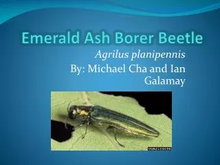
Assessing the Potential Risk of Emerald Ash Borer Establishment and Spread using GIS William D. Ayersman Michael P. Strager West Virginia University
Overview • Background on EAB in North America • Mapping risk factors • Modeling probability of spread • Desired outcomes
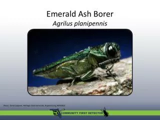
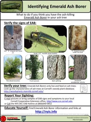
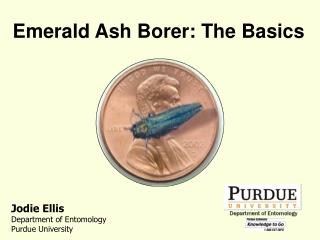
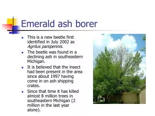
Emerald Ash Borer (EAB) • Native to Asia • First detected in Detroit, Michigan (2002) • Highly destructive to native ash species
Ash species in North America • Importance in the ecosystem • Urban and developed areas • 25 million+ trees affected to date • High removal and replacement costs in the billions $$ • Loss of trees leads to reduced property values
Cooperative EAB project APHISJan 2009
Project: EAB in the mid-Atlantic region • EAB is not yet fully established in the study region • Opportunity to focus monitoring and outreach Quarantined Counties
Mapping risk factors • Focused on mapping anthropogenic factors related to introduction/spread of EAB: • Movement of trees (nursery stock) • Movement of wood and wood products
Risk factors: Hardwood firewood • Parks and picnic areas • Public and private campgrounds • Vacation homes • Retail sales of firewood EAB infested firewood, Troy Kimoto, CFIA
Mapping firewood usage • Campgrounds
Risk factors: Sawmills • Timber industry, particularly sawmills • Wood haulers WV sawmill, Appalachian Hardwood Center photo
Risk factors: Nurseries • Ash species are valuable nursery crop • Estimated 2 million ash trees / year • Spread to Maryland was through nursery stock WV Division of Forestry tree nursery
Mapping nurseries • Nurseries • Home and garden suppliers
Other factors • Population centers • New home construction • Interstate commerce • Shipping
Data refinements • Campgrounds • Size, type of facility • Origin of visitors • Nurseries, sawmills • Size of facility • Materials handled • Source of materials
Maximum entropy approach • A Bayesian technique • Useful for making predictions from incomplete information – presence only • Robust to colinearity between explanatory variables • Stable distribution with limited training data • Evaluates relative variable importance
Desired outcomes • Target monitoring • Public outreach and education
Benefits / technology transfer This project will assist federal and state agencies by • Mapping and modeling locations with high potential for insect introductions through the movements of wood and wood-based materials. • Using a GIS-based approach, a risk prioritization framework is being developed to assess and rank various mapped risk factors for EAB introduction and spread. • Data will be useful for other pests