
JANITOR
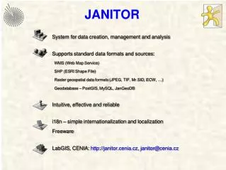
JANITOR. System for data creation , management and analysis Supports standard data formats and sources : WMS (Web Map Service ) SHP (ESRI Shape File ) Raster geospatial data formats (JPEG, TIF, Mr.SID , ECW, …) Geodatabase – PostGIS , MySQL , JanGeoDB

JANITOR
E N D
Presentation Transcript
JANITOR Systemfor data creation, management andanalysis Supports standard data formatsandsources: WMS (Web Map Service) SHP (ESRI ShapeFile) Rastergeospatial data formats (JPEG, TIF, Mr.SID, ECW, …) Geodatabase – PostGIS, MySQL, JanGeoDB Intuitive, effectiveandreliable i18n – simpleinternationalizationandlocalization Freeware LabGIS, CENIA: http://janitor.cenia.cz, janitor@cenia.cz
JANITOR Applications • JanMap GIS application • JanDat table data management application • SQLTools applicationfordatabaseadministration • DataBuilder formdesigner • FieldGIS mobile GIS application


![DOWNLOAD [PDF] A Boy a Burrito and a Cookie From Janitor to Executive](https://cdn4.slideserve.com/8370023/slide1-dt.jpg)