Download
1 / 18
180 likes | 339 Views
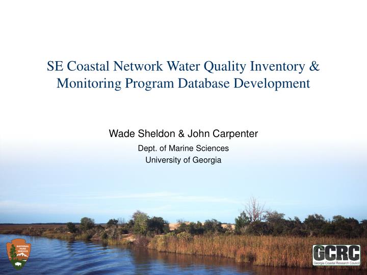
SE Coastal Network Water Quality Inventory & Monitoring Program Database Development. Wade Sheldon & John Carpenter Dept. of Marine Sciences University of Georgia. Project Background. NPS identified need to compile information on long-term monitoring of water quality in SE coastal waters

E N D
SE Coastal Network Water Quality Inventory & Monitoring Program Database Development Wade Sheldon & John CarpenterDept. of Marine Sciences University of Georgia
Project Background • NPS identified need to compile information on long-term monitoring of water quality in SE coastal waters • In Fall 2007 we proposed to: • Conduct workshop to gather input, info on regional activities • Compile database of long-term monitoring program metadata • Produce report summarizing monitoring in region • Develop interactive web applications for querying database
Database Design Process - Research • Reviewed other environmental monitoring database efforts • International: GTOS TEMS (http://www.fao.org/gtos/tems/) • Regional: Gulf of Maine Council on the Marine Environment (http://restoration.gulfofmaine.org/) • OOS, regional consortia (SECOORA), … • Reviewed monitoring program/observation metadata standards • MMI (http://marinemetadata.org/) – various schemas, drafts • EPA STORET (parameters) – legacy metadata • NEIEN (EPA/States/Tribes) • Environmental Data Standards Council (2006 standards/schemas) • Water Quality Exchange (WQX) – STORET replacement • NWQMC - Water Quality Data Elements
Database Design Process - Evaluation • Concluded huge amount of work going on to standardize and coordinate metadata/data exchange • Regional consortia, EON/IOOS • New NSF programs (INTEROP, FEON) • Differences in approaches, progress • Detailed schemas & standards -> basic metadata content recommendations without implementation tools -> plans in development • Some controlled vocabularies, but not widely applied • Common threads • Geospatial query/visualization (Google Maps API common) • Thematic searches at varying granularity (topics, programs, parameter types)
Database Design Process - Approach • Decide on initial scope • NPS goal: Water Quality monitoring in SE coastal zone (NC,SC,GA,FL) • Geographic bounds • Initial monitoring programs to target • Design, prototype relational database to support thematic and geospatial queries for targeted content • Support relevant metadata content standards (EDSC, NWQMC) • Flexibility for adding new metadata fields, varying completeness • Support varying granularity in searches (broad-to-narrow), hierarchies
Initial Monitoring Programs • USGS National Water Information System • Large amount of relevant, long-term data (water quality, streamflow, groundwater) • Excellent support for data mining (XML reports, RDB data) • Use STORET parameter codes (basic groupings, units, methods) • NOAA National Estuarine Research Reserve SWMP • Relevant, medium-long-term data • Support for mining stations, parameters via SOAP • EPA STORET • Problem: many sites without locations, complete metadata • “In house” programs (GCE-LTER, NPS)
Prototype Relational Database • Draft completed in May 2008, implemented in SQL Server 2000 • Basic structure:Research ProjectsMonitoring Programs Monitoring Stations/Sites Parameters/Methods • Scalable metadata model used for projects, monitoring programs • Some fixed fields (title, desc., dates, web url) • Additional editable lists of available fields with web display options • Developed administrative forms (MS Access) • Prototype web interfaces under development (demo’d here)
Next Steps • Gather workshop feedback on: • Overall approach • Metadata content to survey • Queries, output formats to support • Controlled vocabularies, hierarchies for parameters • Complete web interfaces for interactive input, queries, map display • Solicit metadata from other groups • Continue to develop automated ingestion approaches • XML/XSLT/SOAP • Spreadsheet templates • Prepare NPS report
Web Access • This workshop: • Router: SSID = GCRC (passphrase = Water Quality) • http://192.168.1.100/wqmeta/ • Register or use username = nps_workshop, pw = nps_workshop • After the workshop: • http://www.gcrc.uga.edu/wqmeta/ • Background materials: • Database design (ERD) • Candidate parameter list, hierarchy • GIS resources for coastal zone determination