Download
1 / 13
130 likes | 149 Views
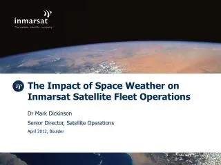
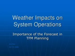
Using Rasters to Measure Impact of Weather on Military Land Operations. Jim Weakland Matt Funk. Wind. Visibility | Damage Equipment. U.S. Marine Corps photo by Cpl. Alicia M. Garcia. Snow Depth and Cover. Trafficability | Mine Effectiveness. U.S. Army photo by Spc . Zachary Burke;.

E N D
Using Rasters to Measure Impact of Weather on Military Land Operations Jim Weakland Matt Funk
Wind Visibility | Damage Equipment U.S. Marine Corps photo by Cpl. Alicia M. Garcia
Snow Depth and Cover Trafficability | Mine Effectiveness U.S. Army photo by Spc. Zachary Burke;
Precipitation River Crossing | Target Acquisition U.S. Air Force photo by Senior Airman Grovert Fuentes-Contreras
High Temperatures Thermal Sights | Personnel Effectiveness DoD photo by Staff Sgt. Adam Mancini, U.S. Army
Meteorological Critical Values • Significantly Reduce Effectiveness • Personnel • Equipment • Weapon Systems • Must be Weighed Against • Tactical Situation • Mission MCWP 3-35.7 MAGTF Meteorological and Oceanographic Support to Operations
Forecast Climate Current
Military Aspects of Weather ArcGIS for Desktop Solution Offering • Utilize Scheduled Tasks Using Batch Files • Import Weather and Climate Data • Calculate Potential Operational Impacts
Military Aspects of Weather Demonstration U.S. Air Force photo by Staff Sgt. Nicholas Monteleone
Resources solutions.arcgis.com/Defense • What’s New • Documentation • Join Community
Please take our Survey Your feedback allows us to help maintain high standards and to help presenters Find your event in the Esri Events App Find the session you want to review Scroll down to the bottom of the session Answer survey questions and submit
For Attending Thank You
Questions U.S. Army photo by Visual Information Specialist Gertrud Zach