Download
1 / 32
350 likes | 446 Views
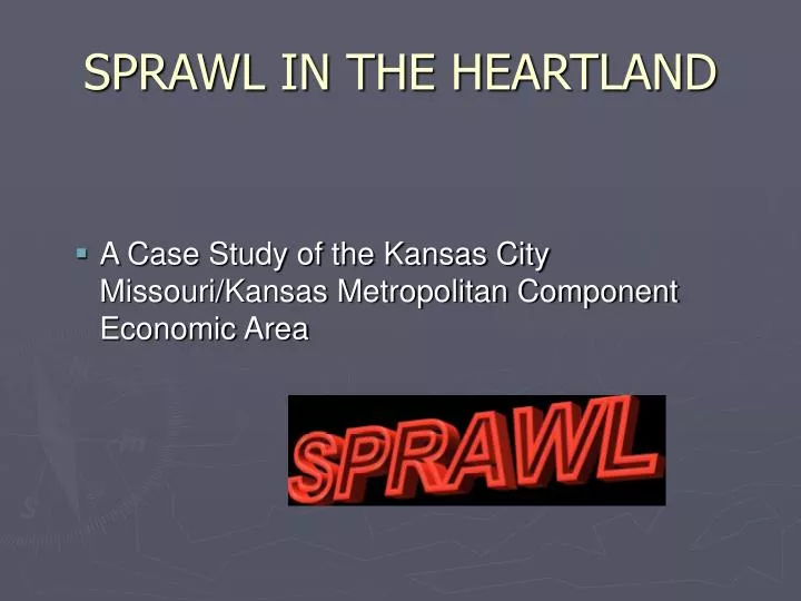
SPRAWL IN THE HEARTLAND. A Case Study of the Kansas City Missouri/Kansas Metropolitan Component Economic Area. UBIQUITOUS NATURE.

E N D
SPRAWL IN THE HEARTLAND • A Case Study of the Kansas City Missouri/Kansas Metropolitan Component Economic Area
UBIQUITOUS NATURE • Sprawl - technically defined as "low-density, automobile-dependent development beyond the edge of service and employment areas" - is ubiquitous and its effects are impacting the quality of life in every region of America, in our large cities and small towns. • Sierra Club
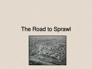
Imagery Of Sprawl
THE BASIC AREA • 29th Largest Urban Area - 25th Largest SMA • MA Ranks 134th of 273 in Growth Rate • 80 Percent Of All Workers Drive Alone To Work • Total Land Area Spreads 10 x Fastest Than Population • It Has The 5th Greatest Rate of U.S. Sprawl Among Metropolitan Areas • 150 Sq. Miles of Undeveloped Land in KC Alone
CURRENT POPULATION MA Rate of Growth 1990 – 2000 = 6.8 percent CEA Rate 1990 – 2000 = 14.7 percent MA Population Gain 1990 – 2000 = 198,000
URBAN CORE GROWTH Missouri Portion Pop = 441,259 @ 0.2 percent/year Pop = 142654 @ -2.0 percent/year Kansas Portion
COMPONENT ECONOMIC AREA • 2 States • 413 Local Municipal Government Units • 14 Counties • 218 Townships • 790+ Special Governmental Units • 103 School Districts • And, ranked first in miles of road/per capita for the largest 50 MA’s
URBAN FRINGE – BLDG PERMITS - 1997 Residential Building Permits – MA Core Area 2,300 Residential Building Permits – Fringe Area (10 Counties) 7,300
BASIC FACTS – MA & CEA • Rate of spread 1985 – 1999 • Metro Area = 56 % • CEA = 70 % • Population MA = 1.9 Million - rate = 6.8% • Population CEA = 2.274 Million - rate = 8.2% • CEA Area = 42 x 52 miles (2,184 sq. miles)
EXAMPLE PLATTE COUNTY • 1950 - 14,973 • 1960 - 23,350 • 1970 - 32,081 • 1980 - 46,341 • 1990 - 57,867 • 1999 - 70,068 Thousands 80 60 40 20 0 1950 1960 1970 1980 1990 1999
THE FUEL - PEOPLE “Where Do These People Come From” - Planner, Platte Co. MO Another State………………. 53 percent Same State. ……………….. 40 percent Outside USA………………. 7 percent
ELEMENTS OF SPRAWL • Annexation • Airport • Interstate Highways • Rural Water/Sewer Districts • Schools • Edge City
Annexation 1964 KC Doubles Size Annexes 122 sq. miles of new land; this includes the area around 16 free-standing suburbs and small towns
AIPORT DYNAMICS • 20 Miles From Center City • 12,000 Acre Preservation Zone • Shifts Focus of Activity to the Northland • Boosts Growth Opportunity to the Fringe • Creates Large-Lot Zoning Schemes
INTERSTATE SYSTEM • Interstate 435 Creates A Looped Link To Form the Anchor For Two Major Interstate Systems • I-70 and I-35 and Reliever Rd. on 10 and 50
INFRASTRUCTURE - WATER • During The Late 1960s, To Induce Growth In The Northland, KC Applies 200 Million In EPA Funds To Bring Water Service From The Core Area • Within 10 Years 18 Separate Rural Water District Are In Operation To Service Growth Attracted to the North and West
SPRAWL ENGINE - WATER Rural water district #4 Increases its water service capacity by 800 percent to service fringe growth
INFRASTRUCTURE - SEWER • By 1980 Aggressive Sewer Extensions From Growing Suburbs • Absence Of Growth Management Plans Encourages Sewer Extensions Beyond The I-435 Corridor • Remote Subdivisions Allowed with Packaged Sewer Plants
THE PUSH - SCHOOLS • The KC Southland Schools Have Been Under Fire For More Than 15 Years • “More Young Couples Are Pushed Out of KC Each Year By The Threat of Children In School Than All The Other Factors Combined” • KC Missouri Planner
EDGECITIES – THE ANCHORS • Heartland Sprawl Is Built Around Two Developing Edge Cities, And A Third In Process • Both Edges Are the Fastest Growing Areas in The Central Midwest • Johnson County - Cities Form The Quintessential “Urban Core Flight” Suburban Complex
PLANNER’S ASSESSMENT • The Pull • Multi-State, Overlapping, Uncoordinated Area • Schools • Shocking Misuse of Zoning and Subdivision Powers in Regional Communities • Aggressive Annexation and Utility Extension • Airport
ASSESSMENT – THE PUSH • Lack Of Variety of Housing Types, Packages, and Plans In The Old MA • Rapidly Rising Land Costs In The MA • Schools • Paradoxically, Tighter – Restrictive Land Use Schemes And Density Developments
THE COUNTRYSIDE - COLLISON • One Planner – 515 Res. Building Permits • Five Acre Minimum Lots and Climbing • Growth Rates Create Many Problems For the Farming Community – But It Does Not Kill Them – Platte County • Keeping Up With Sprawl – You Cannot Kick Back For a Minute And Take A Breath
COUNTRYSIDE - ASSESSMENT • No Chance To Be Proactive • Consultants Are Fine – But They Are Not In The Trenches • Code Enforcement – What A Joke! • “Planning Life At The Fringe – You Go From Floodplains to Hogs, From Conspicuous Consumption to Mobile Homes, And Then Return To Hear WHEN ARE YOU GOING TO PAVE MY ROAD?
PLANNER’S CONCLUSION “Endless Interstates, Suburban Economic Opportunity, Cheap Land, Water, Sewer – These Are the Necessary Conditions For Sprawl. But They Are Not the Sufficient Conditions. To Complete The Picture You Must Have Attitude, Mistrust, Self-serving Gain, Cheap Money, And A Callous Disregard for the City That Made Sprawl Possible” ……………KC Planner of 30 Years………………..
ATTITUDE Do You Favor Greenbelts Or Urban Growth Boundaries To Contain Sprawl? 57% Favor…………..33% Oppose Would You Use Public Money To Acquire Land To Keep It Open? 44% Favor…………..49% Oppose Which is More Important – Do What You Want With Your Land – 69% Let Government Regulate Land Use – 25% Time/CNN Poll – January 20/21, 1999
THE COST OF SPRAWL • The haphazard and arbitrary scattering of structures across the landscape devastates rural areas in many ways: it homogenizes the countryside once dotted by forests, fields, farmland, and rivers, lakes and ponds; it destroys the agricultural heritage of this country; it upsets small-town life; and it changes the economic and cultural character of these areas. • Between 1970 and 1990, almost 20 million acres of rural land were developed nationwide. A total of 400,000 acres a year are chewed up to build residential and commercial centers……………….Sierra Club