Download
1 / 8
80 likes | 243 Views
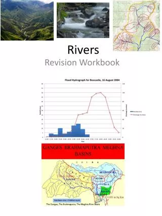
Rivers 5 . Map Skills. Learning Objectives. I can describe what contour lines show on a map I can explain how to use 4 and 6 figure grid references I can use map skills to suggest reasons for different shaped hydrographs. Bellwork (Front of Books).

E N D
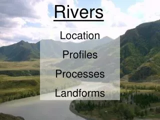
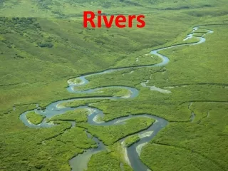
Rivers 5 Map Skills
Learning Objectives • I can describe what contour lines show on a map • I can explain how to use 4 and 6 figure grid references • I can use map skills to suggest reasons for different shaped hydrographs
Bellwork (Front of Books) 4 figure grid references are often called __________. We use them in Geography to find a _________ on a map. It is important to remember to look for the __________ left hand corner of the square. We should always work across then ___. Sometimes we say go along the ___________ and up the _________. stairs co-ordinates up place corridor bottom
6 Figure Grid References • Activities in Foundations. Page 135 (Use page 134 to help if you’re not sure)
Contour Lines http://prezi.com/5nq5l6_i1mk0/contour-lines-gcse/
Contour Lines • Activities in Foundations page 139 (Use 138 to help if you’re not sure)
Contour lines help to illustrate the__________ of the land on _________. If the land is steeper, this means that there is less time for water to __________ into the soil and therefore the lag time of a hydrograph is__________.If the land is flatter, this means that there is more time for water to soak into the soil and therefore the lag time of a hydrograph is__________. OS maps also indicate how __________ an area is. The more __________ rock, the more ____________________, thereby reducing the lag time. urbanised reduced maps surface run-off infiltrate relief increased permeable
Map Plenary (Uses OS map of Leeds- 289) • Find the name of the built up (urbanised) area in 4521 • Find the name of the river with the U-shaped valley in 3346 • What is the name of the Beck with a steep sided (V-shaped) valley in 4038? • What is the 6 figure grid reference for Knaresborough Golf Club? • What is the 6 figure grid reference for Lotherton Hall (North East of Garforth)?