Download
1 / 15
150 likes | 234 Views
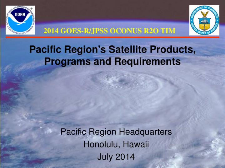
2014 GOES-R/JPSS OCONUS R2O TIM. Pacific Region's Satellite Products, Programs and Requirements. Pacific Region Headquarters Honolulu, Hawaii July 2014. Area of Responsibility. Area of Responsibility. Area of Responsibility. Pacific Region covering > 30 million square miles

E N D
2014 GOES-R/JPSS OCONUS R2O TIM Pacific Region's Satellite Products, Programs and Requirements Pacific Region Headquarters Honolulu, Hawaii July 2014
Area of Responsibility • Pacific Region • covering > 30 million square miles • 2 Weather Forecast Offices • Honolulu and Guam • 6 Weather Service Offices* • Palau, Yap, Pohnpei, Majuro, Chuuk • *WSO Pago Pago operates like WFO. • 2 Data Collection Offices • Hilo (Big Island) and Lihue (Kauai) • Central Pacific Hurricane Center • Collocated with WFO Honolulu • Pacific Tsunami Warning Center • International Tsunami Information Center
PR Observing Program • NWS PR supports numerous islands, such as Hawaii, American Samoa, Guam, CNMI, and Micronesia • Satellite Ground Stations (including L/X-band antenna) • Surface and upper air in-situ observations • GPS Sensors • These provide: • Invaluable assistance for our Watch, Warning and Advisory programs • Verification • Support for our daily forecast services
PR Observing Program • Challenges • Communications and infrastructure • Limited resources for operations and maintenance • Highly corrosive environments • Time to travel to remote destinations (limited air and boat service) • High costs for equipment, contracts, travel and shipping • Limited personnel
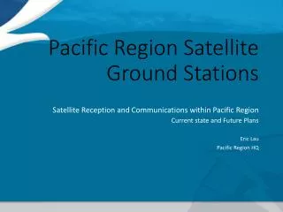
Satellite Ground Stations Pacific Region Satellite Ground Stations Ewa Beach, Oahu Hawaii Pacific Tsunami Warning Center (PTWC) Future– Inouye Regional Center (IRC)
GOES-W Footprint CONUS Hawaii American Samoa
MTSAT Footprint Hawaii CNMI Guam Yap Chuuk Majuro Palau Pohnpei American Samoa
L/X Band Antenna, Range • Honolulu Community College
April 5, 2013 00:14 UTC Aqua MODIS
PR’s Satellite Future • GEOSTATIONARY • NWS Integrated Dissemination Program, Ground Readiness Project (IDP-GRP) • Himawari 8/9 data reception uncertainties • Commercial Satellite Reception • Direct Internet Reception via NESDIS over NWAVE • GOES-R (as GOES-West!) • Data delivery to American Samoa forecasters (Bandwidth???) • GOES-15 coverage of southern Pacific post GOES-R? • POLAR ORBITING • L/X Band antenna at WFO Guam (Bandwidth???) • Model and forecast supplements a very data sparse region • Additional valuable data • OSVW, Altimetry, tropical, etc…
Summary • Pacific Region covers a vast area void of observations • Satellite data is vital to our mission • Ground stations located in Hawaii and Guam • Unique region in the NWS in diversity of comms and variety of offices/services • Complex resources reflect a customized and innovative approach to meeting mission requirements