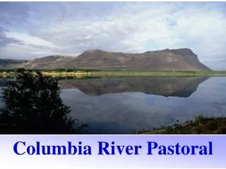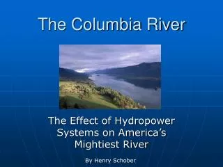
Columbia River
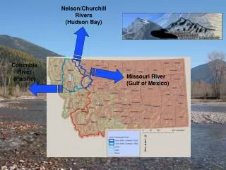
This study delves into the Columbia River Basin, focusing on its geological and geographic significance, as presented in Thelin and Pike's 1991 maps. It covers historical perspectives from Israel C. Russell's 1905 publication "Rivers of North America," highlighting the evolution of the basin's landscape. Additionally, modern mapping techniques via Microsoft MapPoint provide insights into key locations such as Tualatin, The Dalles, and Lewiston. This interdisciplinary examination is essential for students of geography and geology, offering a rich context for understanding the region's development.

Columbia River
E N D
Presentation Transcript
Columbia River Case Study
Thelin and Pike 1991, USGS Map I-2206 Columbia Basin Thelin and Pike 1991, USGS Map I-2206
Columbia Basin - 1905 Rivers of North America: A Reading Lesson for Students of Geography and Geology, by Israel C. Russell, New York, G.P.Putnam’s Sons London, John Murray 1905
Waitsburg WA Map – Microsoft MapPoint
Tualatin/River/Lake Oswego/Portland OR Map – Microsoft MapPoint
The Dalles OR (Mill Creek) Map – Microsoft MapPoint
Lewiston/Clarkston ID Map – Microsoft MapPoint
Oregon City OR Map – Microsoft MapPoint
Flood Basalt • Fix