Download
1 / 12
120 likes | 270 Views
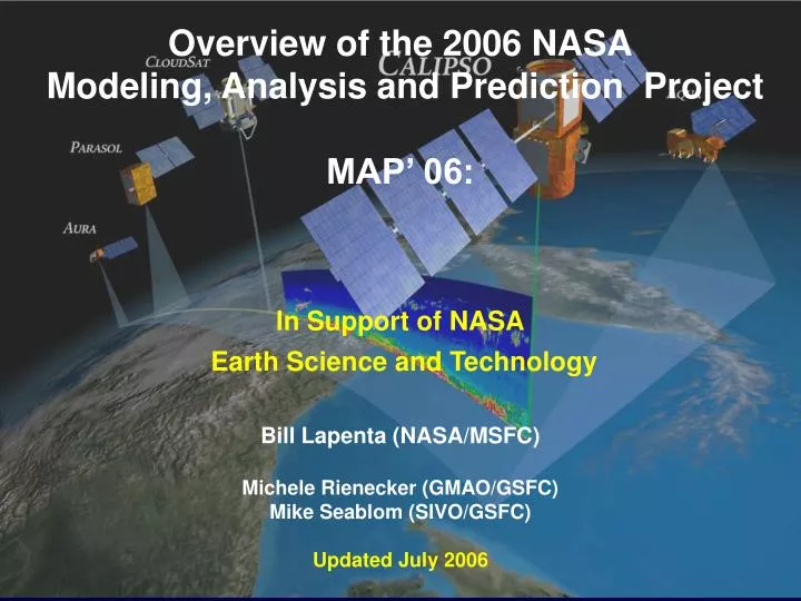
Overview of the 2006 NASA Modeling, Analysis and Prediction Project MAP’ 06: In Support of NASA Earth Science and Technology Bill Lapenta (NASA/MSFC) Michele Rienecker (GMAO/GSFC) Mike Seablom (SIVO/GSFC) Updated July 2006. NASA Conducts Observation Driven Modeling….

E N D
Overview of the 2006 NASA Modeling, Analysis and Prediction Project MAP’ 06: In Support of NASA Earth Science and Technology Bill Lapenta (NASA/MSFC) Michele Rienecker (GMAO/GSFC) Mike Seablom (SIVO/GSFC) Updated July 2006
NASA Conducts Observation Driven Modeling…. • Satellites provide global coverage of Earth system parameters • Satellites characterize variability at seasonal-to-interannual timescales • Satellites provide information to initialize and validate coupled model systems • NASA emphasizes the optimal use of these data for analysis and prediction Models used for: • Improved scientific understanding • Hypothesis testing • Prediction
The 2006 NASA Modeling and Analysis Project • Objective: • Application of NASA’s satellite remote sensing technologies and earth system modeling capabilities to improve understanding and prediction of tropical cyclones • Science Questions: • Can satellite data assimilation improve prediction (out to 5 days) of easterly waves, tropical cyclogenesis and hurricanes? • What impact is gained with increased model resolution? • What role do aerosols play in tropical cyclogenesis in the Atlantic basin? • What roles do land – ocean – atmosphere interactions play in the structure and evolution of easterly waves as they propagate off the western African coast?
The Approach…. • Employ global (GEOS-5) and regional (WRF) modeling systems • Conduct data assimilation using GSI with GEOS-5 • Satellite DA and model assessment/evaluation using multiple satellite sensors/missions (AIRS, MODIS, AMSU, TRMM, CloudSat/CALIPSO) • Conduct global assimilation and simulations during the 2006 hurricane season --- statistically significant assessment of performance • Run regional WRF on demand with GEOS-5 initial and lateral boundary data • Formed a Science Working Group to coordinate experiments and subsequent analysis • Enabled by NASA High End Computing
NASA Conducting Tropical Cyclone Campaign: N-AMMA-06 • Leverages off AMMA SOP-3 and will be based in Cape Verde • Multidisciplinary approach involving Weather, Water & Energy, Composition foci • Platforms: DC-8, Aerosonde, TOGA & NPOL radars, micropulse lidars • Partnering with European consortium, NOAA HRD • NAMMA-06 science in line with CCSP objectives
GEOS5: Realizing the power of Columbia Precipitation Rate 1 degree resolution 0.5 degree resolution Increasing resolution improves realism of forecasts of the details in 2-day Katrina forecasts 0.25 degree resolution Sea Level Pressure 0.5 degree resolution 1 degree resolution 0.25 degree resolution Verifying Analysis from NOAA/NCEP Columbia allows high resolution and rapid time-to-solution
Weather Research and Forecasting Model • Regional modeling component a new addition for MAP06 • Developed capability to initialize with GEOS-5/GSI analyses • Can run with ARW core with plans to include NMM • Focus on air-sea interactions with MODIS 1-km SST composites • Land-atmosphere interactions using the Land Information System (LIS) & cloud microphysics (GCE) • Conduct regional DA experiments • Cloud processes evaluation using Cloudast/Calipso
WRF used as “Model of Opportunity” • Normal Ops • N-AMMA Region • Florida/Gulf Coast • CloudSat Overpass • Special Ops • Tropical storms • Hurricane-US coast
Access to High End Computing Test G5DAS G5, WRF G5DAS
Visualization Techniques Web-based VMS HyperWall Technology
Summary • Project focused on scientific issues • Assimilation perspective—GSI framework • Assessment of FV dynamics within GEOS-5 • Model assessment and evaluation • Includes process study perspective • Cross cuts several Interagency and NASA programs • Relevant to NASA-NOAA Research and Operations • Building links between JCSDA (NCEP/GMAO) and the NASA SPoRT activities • Coordination with US-AMMA Activities • Provide support to N-AMMA • DA Sensitivity studies complement those proposed by J. Dunion at AMOL/HRD • Provides supplemental track and intensity forecasts to TPC and FSU • Global and regional modeling PI’s working together on common scientific problems and interests