Download
1 / 22
230 likes | 255 Views
Explore how strategic highway safety plans benefit from FHWA data analysis capabilities, focusing on pedestrian data for safer systems. Learn about the importance of collecting, managing, and using traffic data and advancing Vision Zero with technology. Discover FHWA's strategic objectives and the Roadway Data Improvement Program to reduce transportation-related fatalities.

E N D
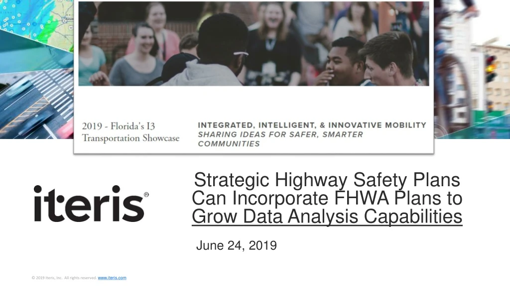
Strategic Highway Safety Plans Can Incorporate FHWA Plans to Grow Data Analysis Capabilities June 24, 2019
Vulnerable Road User Characteristics More Exposure More Diverse More Vulnerable
VRU Fatality Data: CA 27.9% FL 25.3% Pedestrian Fatalities Cycling Fatalities
Fundamentals to Advance Vision Zero in US: • Deploy Technology to Collect, Analyze and Use Data • Know who is using your roadways and allocate their “pace and space” to maximize safety of all known road users • Being data-driven is essential to the safe systems approach • “Data is the new seatbelt”
NTSB Pedestrian Safety Report • Data is needed re: pedestrian trends and intersection-specific planning • Collection / analysis of non-motorized transport datasets for local jurisdictions difficult to establish, maintain, and analyze • Specialized methods for collecting, managing, and using traffic data are continually evolving • Pedestrian-counting technology (e.g., computer vision traffic sensors) can be deployed to improve exposure data
FY 2019-2022 Strategic Plan • Encourage partners to use Data-Driven Safety Analysis methods and tools for decision-making, including data management and governance • Promote adoption of Proven Safety Countermeasures to address intersection pedestrian and bicycle crashes • Assist agencies on multidisciplinary approaches to improve safety outcomes through the Roadway Data Improvement Program GOAL: Reduce transportation-related fatalities and serious injuries STRATEGIC OBJECTIVE #1: Save lives by expanding use of data-driven, systemic safety management approaches and by increasing the adoption of proven safety solutions by all road owners HOW?
FHWA Technical Assistance Programs Roadway Data Improvement Program Data Governance Plan • Teams of experts examine processes on data • Roadway geometrics • Crashes • Volumes • ID need to break down silos • To be published in six volumes • Data Governance Advisory Council will undertake a series of educational and promotional activities to inform and educate partners and stakeholders • The Data Governance Plan development is likely to span several years
Strategic Goals (V 2, 2017) • FHWA will adopt cloud architecture to develop a standardized and unified data environment • FHWA will have an enterprise data environment to support emerging technologies such as Big Data and Business Intelligence (BI) analytics for advanced systems
ITSA Platform for FAST Act Reauthorization • Expand eligibility to include data collection and analysis software (including data acquisition through private sector partnership) • 100% federal match for installation of all V2I safety technologies projects • Expand eligibility under Advanced Transportation and Congestion Management Technologies Deployment (ATCMTD) program, to include V2P technologies • V2P encompasses a broad set of road users - people walking, children being pushed in strollers, people using wheelchairs or other mobility devices, passengers embarking and disembarking buses and trains, and people riding bicycles and scooters • Pedestrian detection systems can be implemented in vehicles, in the infrastructure, or with pedestrians themselves to provide warnings to drivers, pedestrians, or both
ITSA Platform for FAST Act Reauthorization, cont. • Add a new authorization that supports smart highways and streets with broadband fiber optic cable to make roads safer by establishing new federal funding to assist states and localities to: • Identify a broadband utility coordinator to facilitate the broadband infrastructure right-of-way efforts within the state • Register broadband infrastructure entities that seek to be included in those facilitation efforts • Establish a process to electronically notify such entities of the state transportation improvement program on an annual basis • Coordinate statewide telecommunication and broadband plans and state and local transportation and land use plans, including strategies to minimize repeated excavations that involve the installation of broadband infrastructure in a right-of-way
V2I Testbed Data Challenges & Solutions SOLUTIONS • Multiple mechanisms to maintain location accuracy • Edge computing to convert data to information at the RSU • CHALLENGES • Location Accuracy: GPS was not good enough • Initial Testing – NYC (6th Ave.); Tampa (Twiggs St.) • Backhaul network limitations
VRU Safety with Varying Levels of Connectivity Ontario Must Prepare for Vehicle Automation Automated vehicles can influence urban form, congestion and infrastructure delivery “… a consensus is emerging that the journey to [full automation] will be a progressive one in which small steps are made along the way and new features are added to vehicles every six to nine months or so.” -- Clearwater International, Clear Thought (newsletter), March 2015
National Dialogue on Highway Automation • Address future data and information systems, organizational and workforce requirements • Data elements around the roadway are useful to share and could improve automation operations Cooperative Automated Transportation Coalition
SaaS Solutions • Monitor roadways and detect anomalies in real-time • Make informed real-time operational decisions • Before-after analysis with in-depth reports on many metrics • Inform travelers/citizens of project impacts, prepare press releases, generate statistics for media • Project selection and funding allocation by generating key performance indicators to evaluate priorities based on data
Integrating ITS with Legacy Technology to Improve VRU Safety • High Performance Detection to identify, analyze & count: • Individual vehicles • Bicycles/E-scooters • Pedestrians
Thank You! Questions?