Download
1 / 14
140 likes | 257 Views
Projections and Coordinate Systems. Chapter 2. ArcView. Structure Project View Theme Feature Project (.apr) ASCII text Location dependent!!!. Documents. View picture of the themes Table relational database (.dbf format) Chart bar, line, scatter, etc Layout the map Script

E N D
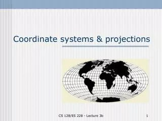
Projections and Coordinate Systems Chapter 2
ArcView • Structure • Project • View • Theme • Feature • Project (.apr) • ASCII text • Location dependent!!!
Documents • View • picture of the themes • Table • relational database (.dbf format) • Chart • bar, line, scatter, etc • Layout • the map • Script • programming in Avenue language
Theme • Theme • Point • Line • Area • Feature • Individual item • Shapefile • .shp • .shx • .dbf
Arc/Info • ARC and INFO Spatial and attribute information are separate • ARC is spatial information • INFO is attribute information • data is binary - must use tools to read
Coverage • Coverage can be • point • arc • polygon • More complex • We will build up the expertise • representation of data • multiple components for each kind of coverage
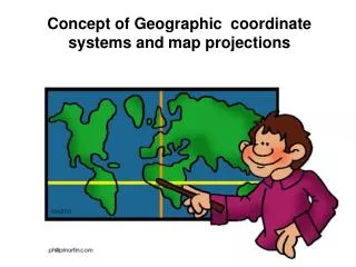
Geographic Grid • Meridians and parallels • Longitue and latitude • E-W and N-S • DMS=degree-minute-second • DD=decimal degrees • Convert D + M/60+S/3600 = DD
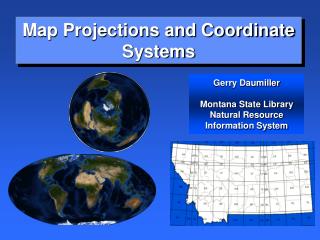
Projections • Spherical to flat • Something preserved • conformal = shape • equivalent = size • equidistant = scale • azimuthal = direction • Projection surface • cone, cylinder, plane
Datum • Spheroid or ellipsoid • North American Datum of 1927 (NAD27) and Clark 1866 (ground-measured) • North American Datum of 1983 (NAD83) and WGS84 or GRS80 (satellite-measured)
Coordinate Systems • Universal Transverse Mercator (UTM) • Universal Polar Stereographic (UPS) • State Plane Coordinate (SPC) • Public Land Survey System (PLSS)
UTM • Universal Transverse Mercator • 84°N and 80°S • 60 zones • 6° per zone • Beginning at 180° W
UPS • Universal Polar Stereographic • Polar areas • 100,000-meter squares • Similar to UTM
SPC • State Plane Coordinate • 1930s accuracy of 1/10,000 or less • State may have more than one zone • Shape of state changes N-S or E-W • Texas has how many?
PLSS • Public Land Survey System • Not in Texas • Mainly central and western states • 6 x 6 mile squares (townships) • 36 square mile parcels of 640 acres (sections)