Download
1 / 7
70 likes | 200 Views
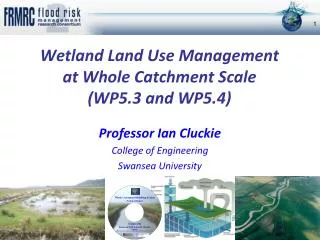
Wetland Land Use Management at Whole Catchment Scale (WP5.3 and WP5.4). Professor Ian Cluckie College of Engineering Swansea University. Run off / Wash off. Soil & Mud Flow. Soil Compaction. Wetland Land Use Management at Whole Catchment Scale – WP5.3.

E N D
Wetland Land Use Management at Whole Catchment Scale(WP5.3 and WP5.4) Professor Ian Cluckie College of Engineering Swansea University
Run off / Wash off Soil & Mud Flow Soil Compaction Wetland Land Use Management at Whole Catchment Scale – WP5.3 The Parrett and Tone catchments – Large floods in 1999 and 2002 DHI MIKE SHE Model
Human Activities and Soil • Soil degradation increased by heavy machinery or soils worked in wet conditions • Cultivated land, winter cereal crops, more degraded than permanent grass, but it varies with the degree of slope If soil moisture is at optimum levels during the soil cultivation periods of the autumn and spring the risk of soil degradation occurring is limited Land Use Average Soil Moisture Deficit (1961 ~ 2000) Bare soil: harvest ~ before seeding
Flood Impact Downstream? • LAND USE Change had relatively LITTLE impact at Whole Catchment Scale • FLOOD retention STORAGE MORE EFFECTIVE at decreasing flood volume and peak, but varied by sub-catchment • Large Catchment dominated by CHANNEL NETWORK
Lowland SedimentsWP5.4 - Tone Catchment Case Study • Sediment delivery to rivers is likely to be exacerbated by future climate change • Uncertainty how sediment drives changes in morphology and flood risk in lowland rivers – Highly Event Driven • RBMP & CFMP targets & activities must not conflict, and preferably support each other
contact: Colin.Thorne@nottingham.ac.uk Sediment Issues: • Wash load sedimentcan alter morphology in key locations • Water level and inundation patterns likely to be affected, but flood risk impacts may be minimal • River sediment management (receptor) may be restricted to local ad hocintervention to maintain flood defence assets or other uses – e.g. Dredging • Catchment sediment management (source) likely to be driven by WFD & Soil Resource Protection rather than FRM • Areas of uncertainty include defining sedimentyield and understanding temporal position in a river regime Colin.Thorne@nottingham.ac.uk
Key Messages • The impact of land Use Management was NOT significant atWhole Catchment Scale – FLOODPEAK and VOLUME • However ,was important at plot and Field Scale! • Space/time scaling effects are still not completely understood BUT dominance of Channel Networkprimary control on Flood Impact on Large Catchments • Land Use Change had greater impact on Sediment, Bio-Diversity, Water Quality and Landscape rather than flood peak or volume • FRM still important but NOT Panacea! j.park@swansea.ac.uk