Download
1 / 23
230 likes | 336 Views
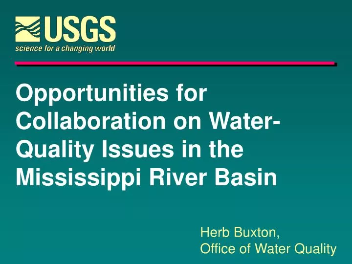
Opportunities for Collaboration on Water- Quality Issues in the Mississippi River Basin. Herb Buxton, Office of Water Quality. MR/GM Watershed Nutrients Task Force. CENR Science Assessment, May 2000. Task Force Action Plan, January 2001. Mississippi River - Gulf of Mexico Watershed.

E N D
Opportunities for Collaboration on Water- Quality Issues in the Mississippi River Basin Herb Buxton, Office of Water Quality
MR/GM Watershed Nutrients Task Force CENR Science Assessment, May 2000 Task Force Action Plan, January 2001
Mississippi River - Gulf of Mexico Watershed “Hypoxia in the Northern Gulf of Mexico is caused primarily by excess N delivered by the MARB in combination with stratification of Gulf Waters.”– Integrated Assessment, 2000
Nitrogen Loads, 1980-96 1.6M metric tons per year Arkansas/Red 7% Lower Mississippi 7% Ohio 32% USGS Gaging Station Middle Mississippi 28% 1500 Water-Quality Measurements on 9 large sub-basins. Missouri 15% Upper Mississippi 10%
Nitrogen Yield, 1980-96 Yield on 42 small Sub-basins calculated from >4000 additional water-quality measurements.
B C Model Estimation of Total Nitrogen Delivered to the Gulf of Mexico(SPARROW) A - Municipal and Industrial Discharges B - Atmospheric Deposition , and C - Fertilizer and Livestock Wastes. A 6% +/- 3 Increasing yield 18% +/- 10 64% +/-21
The Importance of Watershed Processes • Agric. / Urban Runoff • Tile Drainage • GW Storage/Discharge • Wetland denitrification • Riparian zone filtering • Atmospheric Dep. • Climatic effects Hypoxia Nitrate Yields, Mississippi Basin.
5,000 km2 Goals for the Gulf and the Basin • Coastal Goal: By 2015, reduce the (5-yr) average size of the hypoxic zone to < 5,000 km2.
Low concentration in isolated backwaters. High concentrations in channels. Surface NO3 Goals for the Gulf and the Basin • Within Basin Goal: To restore and protect the waters of the 31 States and 77 Tribes in MARB. Raccoon River, IA (% of Days NO3 > MCL) LTRMP
Goals for the Gulf and the Basin • Quality of Life Goal: Improve the communities and economic conditions across the Gulf and Mississippi Basin. Habitat Fisheries Agricultural Productivity Recreation
A Science-based Action Plan • Adaptive management. • Comprehensive Management Action. • Voluntary Basis.
Reducing Nutrient Loads Farm N Management Decreasing N losses Riparian Forest Buffers Filter Strips Drainage Management
Reducing Nutrient Loads Reducing Point Sources and Urban Runoff Restoring Wetlands to Increase Denitrification
Davis Pond Diversion Structure Reducing Nutrient Loads Diversions to Coastal Wetlands Increasing Denitification Lock & Dam Management
Monitoring, Modeling and Research Sub-committee To develop a MMR strategy that provides a sound basis of scientific information to support implementation of the Action Plan in an adaptive-management framework (through monitoring and periodic interpretations, and through continual improvement by supporting research.)
Monitoring, Modeling and Research in the Action Plan • Consider all potential causal and mitigating factors, including management actions (Indicators: Env., Eco. & Prog.). • Reduce uncertainties in the measurements of adverse effects, causal factors, and underlying processes. • Make maximum use of all existing monitoring activities. • Monitoring should be designed to serve sub-basin implementation strategies.
Monitoring, Modeling and Research in the Action Plan • Designed monitoring using modeling and other planned interpretations. • Modeling should extrapolate monitoring at representative sites across the Basin. • Periodic interpretations and reporting of monitoring, modeling and research results. • A broad information dissemination policy. • Quality Assurance. • Peer Review.
Upper Mississippi River Basin Protection Act of 2001 -- “The Kind Bill” • Leadership Role for USGS -- Science support for adaptive management. • Establish a sediment and nutrient monitoring network and a modeling program • Monitor significant sources of sediment and nutrient losses, • Quantify transport processes, • Target management actions.
Sediment and Nutrient Monitoring - Establish guidelines for data collection and storage. - Use of existing monitoring programs where practical. - Coordinate with Long-term Estuarine Assessment Group (LEAG).
Modeling and Research - Models to relate nutrient loss to landscape, land use, and land management practices. - Models to relate sediment loss to landscape, land use, and land management practices. - Models to define river channel nutrient transformation processes.
Overall - Support management decision-making. - Establish an Internet-based information dissemination system. - Information headquartered at UMESC. - Reporting: Annual on Monitoring Every 3 years on Modeling. - NRC report on water-quality management.
The Director’s Annual Guidance • “Collaboration and joint planning among disciplines, science centers, and district offices involved in large river research should be increased, with emphasis on … • Mississippi River Basin -- to target resources on programs that will contribute to efforts to reduce nutrient contribution to the river system and the Gulf of Mexico.“
Opportunities - Look basin wide, across state boundaries. - Provide science as the basis for consensus for management decision-making. - Increase reliance of other Fed’s on USGS information (USACE, USFWS, USEPA, …). - Take an interdisciplinary approach. - Target research on management tools. - Work within existing resources.