Download

1 / 13
130 likes | 131 Views
Connecting space-based science and technology to village-level decision making by providing improved access to data, models, maps, and visualizations.

E N D
Connecting Space to Village Bill Crosson SERVIR Mekong Science Lead
Linking Science to End User Needs Science End User Needs
The SERVIR Network Planned
What We Do • Identify needs in SERVIR regions • Link science products from research institutions to meet those needs through improved access to data, models, online maps, and visualizations • Build capacity of regional institutions, stakeholders, and young professionals • Strengthen partnerships and foster collaboration across SERVIR network
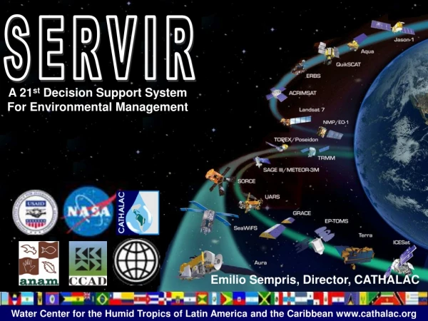
Satellite Datasets Used in SERVIR 20Satellites/Sensors Applied * Satellite/sensor no longer producing data ** 5 Commercial satellites in use through a unique SERVIR data collection tasking agreement
SERVIR Product Catalog Goal: Improve access to SERVIR tools and products SERVIRcatalog.net / SERVIRcatalogue.net
Applications of Satellite Products for Air Quality Monitoring, Analysis, Forecasting and Visualization Project Objectives: • Enhance NASA satellite products • (Mesoamerica and Himalayas): Develop daily near real-time 1 km MODIS true color imagery and3 km AOD for tracking pollution events • (Mesoamerica and Himalayas): Working with advisory groups of regional stakeholders, transition satellite products and visualization system to end-user operational status • (Himalayas): Explore the relationship between MODIS AOD and ground-based PM2.5 and PM10measurements • Develop national air quality modeling systems (El Salvador and Costa Rica) • Based on U.S. EPA’s CMAQ model • In conjunction with stakeholders, optimize modeling systems and verify output with pollutant monitor and satellite data • Conduct training/capacity building (El Salvador, Costa Rica) • Stakeholder meetings to review air quality satelliteproducts and obtain feedback for improvement • Training sessions for stakeholders on use of the new satellite products and on the nationalair quality modeling systems MODIS true color & AOD showing smoke in Himalayas
Flood and Climate Information for Management of Mosquito-Borne Disease • Public health is a major concern in Africa, where Rift Valley Fever, Leishmaniasis, Trypanosomiasis, Shistosomiasis and malaria epidemics are recurring problems. Mapping of water bodies using Landsat • Objectives: • Improve spatio-temporal characterization of surface water products and improve flood forecasting to support regional end users in detecting areas of vector-borne disease risk; • Improve repository of data and tools; • Train regional end users on accessing and using new data and tools. • Mapping water bodies and linking changes to those bodies with rainfall forecasts is enabling end users to generate Vectorial Capacity maps, effective tools for Ministries of Health to enable preventative action to avert epidemics.
Ocean Algal Bloom Monitoring for Mesoamerica • Harmful algal blooms (HABs, Red Tides) consist of naturally-occurring microscopic marine algae that are toxic to shellfish and fish and to people who eat them. • SERVIR Red Tide monitoring system converts MODIS’ ocean chlorophyll concentration data into imagery products tailored to the needs of stakeholders in Mesoamerica. • This tool uses the SeaDAS (SeaWiFS Data Analysis System) and a subscription service to acquire 1 km ocean data from MODIS in near real-time. • SERVIR also provides MODIS FLH (Fluorescence Line Height) and SST products. In coastal waters, FLH better distinguishes surface phytoplankton from other constituents. • The tool has been in effect for 10 years. • It is demand-driven, created at the request of the El Salvadoran Government and still in high demand; the El Salvador Ministry of Environment checks the results daily. • The data provided by this tool are vital in helping to determine if further testing of shellfish is needed. https://www.servirglobal.net/Mesoamerica/Maps-Data/Interactive-Mapper
Summary • SERVIR is a link between research institutions and end-user decision making. • SERVIR efforts are demand driven, i.e. they are led by the needs of the region as expressed by partners and end users. • Current efforts related to air quality and public health include air quality monitoring and modeling, and vector-borne diseases. Many more AQ/PH projects will undoubtedly follow. • Presence of the SERVIR Hubs, technical institutions with regional governmental support, makes the linkage sustainable.
Etc. More information: SERVIR Global: http://www.servirglobal.net NASA Applied Sciences Capacity Building Program: http://appliedsciences.nasa.gov/programs-2/capacity-building-program SERVIR Contacts: Nancy Searby – Applied Sciences Capacity Building Program Manager Dan Irwin – Project Director Ashutosh Limaye – Project Scientist Bill Crosson – SERVIR-Mekong Science Lead Africa Flores – SERVIR Eastern and Southern Africa Science Lead Eric Anderson – SERVIR–Himalaya Science Lead