BGS Coastal Mapping
90 likes | 281 Views
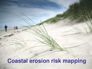
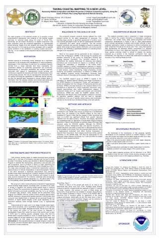
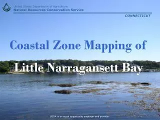
BGS Coastal Mapping. Keith Westhead. Coastal mapping pilot area – Dorset Coast, S England Collaboration with MAREMAP partners, CCO, Uni Southampton Lidar , Bathymetry etc. and geological mapping. Aerial L idar stitched to nearshore bathymetry (1m resolution).

BGS Coastal Mapping
E N D
Presentation Transcript
BGS Coastal Mapping Keith Westhead
Coastal mapping pilot area – Dorset Coast, S England • Collaboration with MAREMAP partners, CCO, Uni Southampton • Lidar, Bathymetry etc. and geological mapping
Aerial Lidar stitched to nearshore bathymetry (1m resolution)
Geological mapping extended offshore through ‘White Ribbon’ • Better understanding of full ‘coastal zone’
Better 3D geology & coastal hazard analysis e.g. landslides, erosion, flooding • Infrastructure, heritage, tourism, planning etc.
Targeted high resolution ground-based laser-scanning • E.g. landslide complexes
SUMMARY - Current focus: • Coastal zone geological mapping & 3D modelling, to underpin: • Cliff instability modelling • Coastal retreat/RSL modelling • Societal impacts in coastal zone