Erosion and Landforms: Nature's Sculpting Forces
470 likes | 547 Views
Explore the fascinating world of erosion and landforms shaped by natural processes like glaciers, rivers, mass movement, waves, and wind. Learn about glacial deposits, river stages, mass movements like landslides and mudflows, and wave erosion on shorelines. Discover the impact of wind and water on landscapes, soil composition, and factors influencing soil formation. Dive into the intricacies of soil profiles, horizons, and the forces shaping our Earth's surface.

Erosion and Landforms: Nature's Sculpting Forces
E N D
Presentation Transcript
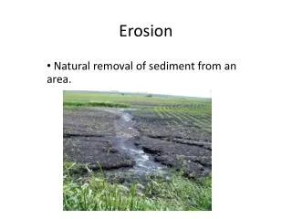
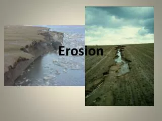
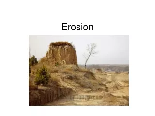
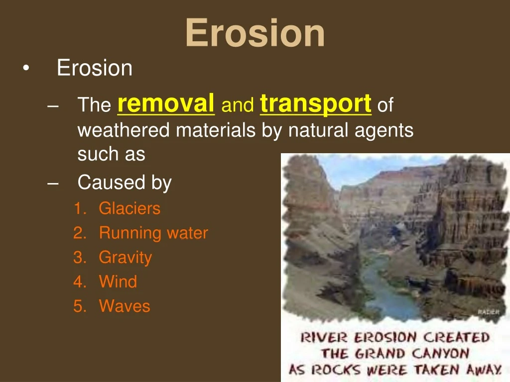
Erosion • Erosion • The removaland transportof weathered materials by natural agents such as • Caused by • Glaciers • Running water • Gravity • Wind • Waves
Glaciers • Mass of compacted ice and snow that moves under its own weight
Glaciers • Friction at the base of the glacier is reduced by a thin film of melt water. • Glaciers account for about 75%of the fresh water on Earth
Glaciers can leave behind large boulders that are known as an erratic
Glaciers • Glaciers can move lots of sediment that can carve striations (grooves) into rocks These Striations show how glaciers moved
Glacial Deposits • Drift or Till- all sediment that is deposited by glacial activity • Loess: fine powder, pulverized rock, that blankets much of the northern mid-west • Moraine: ridge or pile of boulders, gravel, sand, and silt left at the end of a glacier Esker: type of outwash that accumulates in the channels and tunnels of a glacier
Glacial Landforms • Horne: a pyramid shaped peak where 3 or more cirques meet • Cirque • Steep-walled bowl-shaped depression
Glacial Landforms • Trough • U-shaped valley, Glaciers carve U shaped valleys
Arete • Narrow flat-topped ridge that forms between two parallel troughs or cirques Glacial Landforms • Hanging valley • Straight drop-off at the end of a trough
Glacial Landforms • Moraine: Pile of mixed sediments that have been carried and dropped by the glacier
Glacial Landforms • Eskers -Mounds of rock from melt tunnels
Streams and Rivers • Velocity - How fast the water moves • Gradient - The steepness, the slopethat a river or stream travels • Discharge - The amount of water that moves past a certain point in a river in a given amount of time • If there is a steep gradient, high velocity, and a large discharge, then Erosion will be severe! • Rivers have energy to move lots of sediment, and even large boulders.
River stages affect:Velocity,Gradient,& dischargewhich cause Erosion
Seven Bends of the Shenandoah Is the Shenandoah and old river or a young river? River meanders Bends in the river, shows how mature a river is.
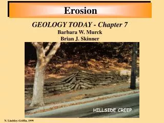
Erosion-Mass Movement • The downward transportation of weathered materials by gravity Massive Landslide
Erosion-Mass Movement • Creep • Slump • Mudflow/Earthflow • Landslide/Rockslide
Erosion-Mass Movement • Creep • Very slow movement of earth material. • Caused by repeated freezing and thawing. Sediments are loosened by expanding frost and contracting thaw. Leaning fence posts and telephone poles are a sign of Creep.
Erosion-Mass Movement • Slump • Slow downward movement of a large mass of soil Occurs when underlying sediments are weakened by heavy rains Characterized by a curved scar in the land surface.
Erosion-Mass Movement • Mudflow/Earthflow • Thick pastes of sediments that travel downhill at great speeds Usually occur in dry areas that get a large quantity of rain all at once Leaves a cone shaped deposit
Mudflow in the Blue RidgeMooreman’s Gap near Charlottesville
Erosion-Mass Movement • Landslide/Rockslide • Fast movement of large blocks of rock Occurs in very steep vertical cliffs Accelerated by ice wedging
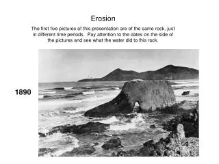
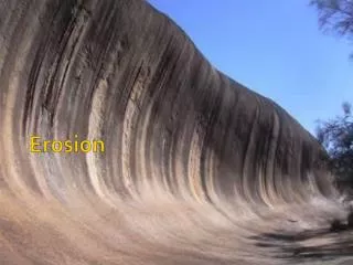
Wave Erosion • The crashing of waves on a shoreline combined with storms continually shape the beach. This is a shoreline with erosion.
Wind and Waves • Wind moves sand dunes at the beach and in the deserts.
Wind and Waves • Wind can carve out landscapes as it carries sediment
Wind and Waves • Many storms combine waterand wind to cause significant erosion on landforms. • Strong winds are capable of moving large amounts of sediment
Deposition: The process of dropping or depositing soil and sediments.
Soil (dirt) • Soil includes loose weathered rock, and organic material in which plant roots can grow
Soil Composition Use this pie chart to answer the questions in your notes.
Soil Composition What do the arrows mean?
Where soil forms • Residual soil • The parent rock is the bedrock beneath the soil (the soil has not moved) • Transported soil • Soil forms from parent material left by winds, rivers, glaciers, or soil that was moved from its original location. This soil has been transported by erosion and deposition
Factors that affect Soil Composition • Parent material: What bedrock is it from? • Time: How long has it had to decompose? • Plants and animals: How have roots and animals helped break up the rocks? Were there acid producing mosses that help break down the rocks (chemical weathering)? • Topography: What is the shape of the landscape? • Climate: Is it warm & wet? Were there glaciers present? Was there acid rain?
Soil Profile • Cross section of soil layers revealing all soil horizons
Soil Horizon • A soil layer with physical and chemical properties that are different from adjacent layers • O Horizon= organic material (humus) • A Horizon = topsoil • B Horizon = subsoil • C Horizon = partially weathered parent material
Humus: Dark organic matter in soil that is rich in nutrients. Idealized Soil Profile
Leaching: The removal of nutrients or toxins in soil as water passes through the layers.
Soil Texture • The size of soil particles
Type of Mineral Particle Size Range Sand 2.0 - 0.06 millimeters Silt 0.06 - 0.002 millimeters Clay less than 0.002 millimeters Particle size ranges for sand, silt and clay Large/ Coarse Medium Small/ Fine
EROSION erosion
Sedimentation to “settle”