Download
1 / 11
110 likes | 302 Views
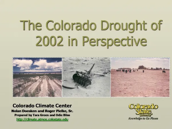
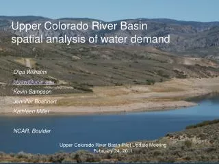
Solaleh Khezri, GIS in Water Resources, University of Texas, Fall 2009. Drought in Upper Colorado Basin. Upper Colorado River Basin. Upper Colorado Basin Reservoirs. Hydro Excel. Generation of Graphs in Hydro Excel. Drought Indices. Palmer Drought Severity Index :Indicator of soil moisture

E N D
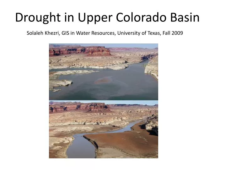
Solaleh Khezri, GIS in Water Resources, University of Texas, Fall 2009 Drought in Upper Colorado Basin
Drought Indices • Palmer Drought Severity Index :Indicator of soil moisture • Surface Water Supply Index: based on snowpack, streamflow, precipitation, and reservoir storage. • Drought Monitor: Combination of indices, including the PDSI, Soil Moisture Model, Standardized Precipitation Index (SPI), USGS weekly streamflow percentiles, etc.
January February March April May June July August September October November December Monthly Inflow Index Maps-2002
What to do next? • Calculate Inflow Index for 8 years • Create Inflow Index maps