Download
1 / 61
610 likes | 710 Views
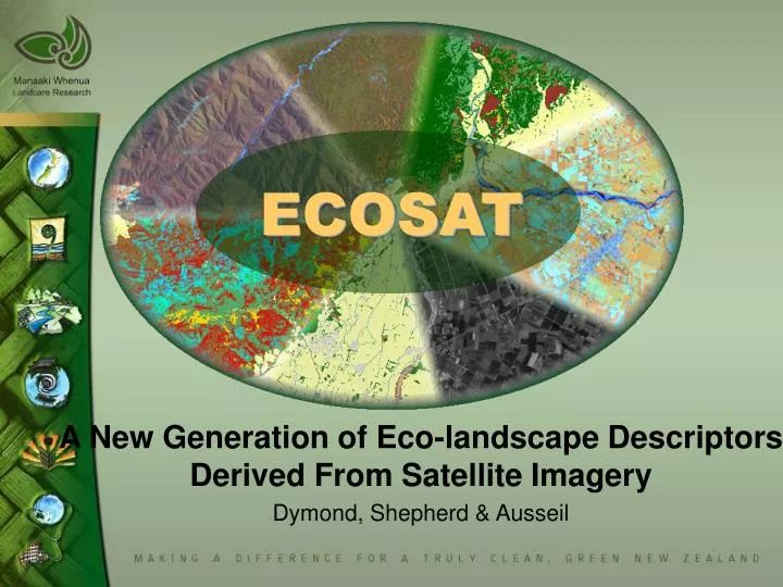
ECOSAT. A New Generation of Eco-landscape Descriptors Derived From Satellite Imagery Dymond, Shepherd & Ausseil. Introducing ECOSAT. Landscape and ecosystem descriptors High resolution – 15m pixels Regional and national coverage Satellite based. National coverage.

E N D
ECOSAT A New Generation of Eco-landscape Descriptors Derived From Satellite Imagery Dymond, Shepherd & Ausseil
Introducing ECOSAT • Landscape and ecosystem descriptors • High resolution – 15m pixels • Regional and national coverage • Satellite based
EcoSat Applications • Wetland Mapping and Prioritisation • Erosion Risk – February Storm • High Country Condition • Lowland Possum Habitat – Spatial TB Model • Indigenous Forest Possum Density
Wetland mapping • EBOP, Horizons MW • Fast inventory of wetlands • Land pressure analysis • Prioritising wetlands in the MW region • National mapping of wetlands (DOC WONI project)
Wetland mapping ETM+ satellite image Ancillary data GPS location Flattening + spectral rules Region growing Lacustrine Estuarine Riverine Marine Palustrine
Map results Satellite image Wetland map
Map results Tangimoana/ Rangitikei Estuary Distribution of palustrine wetlands in the Manawatu/Wanganui region
Land pressure analysis Total catchment area: 440 ha
Riparian analysis Total riparian area: 194 ha
Estimating biodiversity value Criteria Ranking: Weighted sum Representativeness V1 4 å = V w V Areal extent V2 i i = i 1 Surrounding naturalness V3 Terrestrial V4a Connectivity V4 Aquatic V4b
Estimating the value of representativeness • Data input: • Environmental Domain • (LENZ level III) A • Current area a • Historical area Ha V1 æ ö a ç ÷ = R ç ÷ H è ø a A R
Estimating surrounding naturalness value V3 Area (forest, lake) Native forest area = 0 Lake area = 0 Native forest area = 56 ha Lake area = 2.5 ha
Estimating connectivity value Terrestrial connectivity: for bird networks value Data input: Number of wetlands in the same buffer zone (1 km, 5 km) Value: V4a Number of wetlands
Estimating connectivity value • Subcatchments automatically delineated for all the wetland sites • Logical catchment connectivity between wetlands
Estimating connectivity value Aquatic connectivity: for fish migration value Data input: Number of wetlands upstream and downstream Distance to the nearest wetland Value: V4b Number of wetlands
Summary ETM+ image DATA DEM LENZ Basic Land cover Wetland map Catchment delineation PRESSURE ANALYSIS INDICATORS Representativeness Size Naturalness Land cover Riparian zone Surrounding land Connectivity Prioritisation PLANNING Implementation
Orongorongo Possum Research Area Water catchment (WRC) Rimutaka Forest Park (DOC) Research area