Download
1 / 20
200 likes | 241 Views
AUSPOS Online GPS Processing Service. John Manning , John Dawson.Ramesh Govind Geoscience Australia. Australian Online GPS Processing Service (AUSPOS ) Concepts International GPS Service (IGS) Australian Regional GPS Network (ARGN) long baseline precise GPS Processing. Background

E N D
AUSPOS Online GPS Processing Service John Manning , John Dawson.Ramesh Govind Geoscience Australia
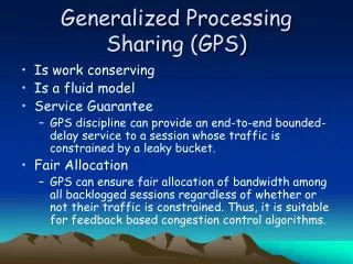
Australian Online GPS Processing Service (AUSPOS) • Concepts • International GPS Service (IGS) • Australian Regional GPS Network (ARGN) • long baseline precise GPS Processing
Background • Geoscience Australia (GA) increasingly was undertaking GPS processing in the ‘national interest’ for : • - defense, government agencies, International • obligations,… • International groups providing online GPS • processing services : • - ITRF coordinates only • - potential for confusion in Australia, ie. GDA94 versus ITRF • Internet based service logical extensionto GA • services
Internet web application • users submit geodetic quality GPS via web- • browser • rapid turn-around precise positions via email • cm level coordinates anywhere in the World! • position quality depends on data quantity/quality • local datum within Australia (GDA94) • ITRF coordinates outside of Australia • FREE service
AUSPOS • Produces GDA and ITRF positions as a free service • Preserves National datum using tectonic plate model back to 1 January 1994 • Application is world wide
Relative GPS Positioning • cm level positioning with two receivers • requires existing ground geodetic infrastructure
Absolute GPS Positioning • cm level positioning with one receiver • geodetic infrastructure ‘invisible’ to the user
How it works • International GPS Service (IGS) • worldwide network of permanent GPS receivers • ‘baseline’ from three closest IGS GPS • station to station distances • typically <1000 km, up to 3500 km IGS User GPS IGS IGS
} • What do you Submit? • GPS data (RINEX) • Your email address • the height of your GPS antenna • the type of your GPS antenna height
Speed and accuracy • 6 hour data file • results delivered in ~ 3 minutes • 20 mm horizontal, 50 mm vertical • 24 hour data file • results delivered in ~15 minutes • <10 mm horizontal and 10-20 mm vertical
http://www.ga.gov.au User GPS Data Processing Results Coordinates (email)
AUSPOS Applications • DGPS reference station positioning • Remote GPS station positioning • Ultra-long GPS baseline positioning • GPS connections to IGS and ARGN stations • High accuracy vertical GPS positioning • In the field high-accuracy processing • GPS network quality control
Internet References GA home page www.ga.gov.au GA Geodesy home page www.auslig.gov.au/geodesy/newhome.htm AUSPOS home page www.auslig.gov.au/geodesy/sgc/wwwgps IGS home page igscb.jpl.nasa.gov