Download
1 / 17
170 likes | 207 Views
Explore NOAA's Hazardous Weather Testbed (HWT) in Norman, Oklahoma, where meteorological insights are rapidly applied to forecast and warn for hazardous weather events. Learn about research collaborations, testing stages, and involvement opportunities. Discover the Experimental Warning Program and its goals for enhancing warning guidance tools through real-time experiments. Find out how Norman serves as an ideal location for forecasting experiments and technological advancements, building on past successful projects.

E N D
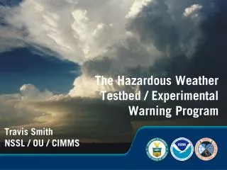
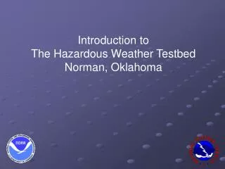
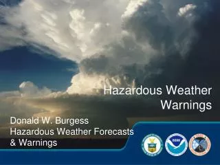
Introduction to The Hazardous Weather Testbed Norman, Oklahoma
What is the Hazardous Weather Testbed? Mission… NOAA’s Hazardous Weather Testbed (HWT) accelerates the transition of promising new meteorological insights and technologies into advances in forecasting and warning for hazardous mesoscale weather events in the United States.
What is the Hazardous Weather Testbed? • NSSL and NWS collaboration • Combines operations, research. • Includes visiting forecaster/scientist program. • VORTEX, IHOP, JPOL, etc.
Norman, Oklahoma Occupancy Summer 2006 Collocates: NSSL, SPC, WFO OUN, WDTB, ROC, and Univ. of Oklahoma Meteorology Units
The NOAA Hazardous Weather Testbed EFP: Emphasizes diagnosis and modeling to forecast mesoscale hazards. EWP: Emphasizes diagnosis and modeling to warn for storm scale hazards.
NWC 2nd Floor SPC HWT WFO DLab
NWC 2nd Floor Hazardous Weather Testbed Area SPC Movable wall (electronic) 16 work areas 2 plasma monitors 2 projectors / screens HWT Media room WFO
NWC 2nd Floor: research-to-operations Stage I: Research at NSSL, elsewhere SPC Stage III: “Beta” Testing HWT DLab Stage II: “Alpha” Testing, proof-of-concept, warning ops simulations WFO
Who will be involved? • Forecasters from throughout the NWS • NSSL scientists and software developers • WDTB trainers • Researchers from other institutions • International scientists and forecasters • Others…
Why Norman? • Can conduct forecast and warning experiments in real-time for any part of the contiguous 48 states: • AWIPS / NAWIPS • Satellite, Level II radar, numerical models, obs • “Warn-on-forecast” storm-scale models • Warning Decision Support System – Integrated Information (WDSS-II)
Why Norman? • Can also expose more people to developmental platforms in real-time: • - Phased array radar • - Polarimetric radar • - CASA radar • - 3D lightning mapping array • We have a lot of experience with experiments in Norman: • - DOPLIGHT (1984-1987) • - Norman Experimental Forecast Facility (1987-1993) • - Warning Decision Support System (WDSS) (1993-1999) • - WDSS-II (2002-present) • - NSSL – SPC Spring Programs • - Joint Polarization Experiment (JPOLE) (2002-2003)
What is the Experimental Warning Program? • Component of the NOAA Hazardous Weather Testbed • WFO-scale collaboration among forecasters, researchers and trainers • 0-2 hour hazardous weather forecast & warning projects for nation • Emphasis on convective weather • Joint initiative of the NWS and the NSSL
What is the Experimental Warning Program? • Analogous to SPC/NSSL spring program • Forecasters can provide early feedback on latest research tools and ideas • For ideas not yet mature enough for operational beta testing
Goals • Develop new warning guidance tools from multiple sensors and numerical • Cloud-scale models (“warn-on-forecast”) • Develop new warning techniques (probabilistic warnings) • Develop improved verification techniques / climate record • Develop GIS-based applications • Develop new visualization techniques
Early EWP Experiments • Probabilistic warnings • AWIPS four-dimensional stormcell investigator (FSI) • WxGIS • High-resolution gridded hail product verification • New platforms: 3D lightning, dual-pol radar
Warn-On-Forecast • Currently issue warnings based on reports of severe events or detections of features strongly associated with severe weather • Want to issue warnings with longer lead times based on forecast storm morphology • Example: Current non-severe thunderstorm is strengthening and will encounter a pre-existing diffuse boundary, ingesting sufficient horizontal vorticity into the updraft to increase the tornado probability in 50-90 minutes, after which time it will move deep enough into the cold air to end the tornado threat. • Will eventually be driven by storm-scale models • Will test these concepts in EWP without having to interrupt real-time operations at WFOs.