Download

1 / 22
220 likes | 561 Views
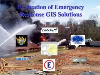
Evaluation of Emergency Response GIS Solutions. Presenters. Steve Thompson Introduction CATS CAMEO Hong Su Autodesk Accela Jeff Bourdier E Team MapTooL Conclusion. Why GIS?.

E N D
Presenters • Steve Thompson • Introduction • CATS • CAMEO • Hong Su • Autodesk • Accela • Jeff Bourdier • E Team • MapTooL • Conclusion
Why GIS? “GIS technology gives public safety personnel the ability to manage and analyze large amounts of location-based information. Data (including files from legacy systems) can be stored in a geodatabase and used to visualize spatial relationships and reveal trends critical to public safety response and planning. Computer-generated maps can be shared across a network or the Internet with multiple agencies to coordinate efforts and maximize resources.” Source: http://www.esri.com/industries/public_safety/
Why Emergency Response? "Preparing communities to respond to bioterrorist threats or events is a top priority in our country right now. With GIS as a core component to this solution, the immediate impact will be to make GIS an integral component of the day-to-day operations of public health and public safety organizations.” Bill Davenhall, Health Industry Solutions Manager, ESRI
Project Goal • Identify emergency response software package that best fits the needs for a medium sized city (Arlington, TX) • Evaluate off-the-shelf emergency response software applications and tools • Assume that no GIS-based emergency response system currently exists
Realtime – Roadblock information CATS - Hazard Prediction and Assessment Capability (HPAC) Catastrophic Natural Event Prediction
CAMEO Scenario 1: • Train Derailment: Train containing benzene has derailed and several tank cars have caught fire and are releasing benzene gas
Three Main Components of Autodesk Emergency Response Model Administrative - Training and preplanning are done in this phase • Autodesk Pre-Plan Tactical - Refers to the “first responder” activity that takes place on the scene of an emergency • Autodesk Mobile Command Strategic - Refers to the management of a disaster, which often takes place in an emergency command center away from the actual sit • Autodesk Crisis Command 2
Autodesk 3D Viewer Autodesk Detail CAD Drawings Autodesk Mapping Building Footprint
Components of Accela Emergency Response Solution Accela Land Management • Capture detailed information on a building or structure • Attach and retrieve CAD drawings, photographs, and other document files Accela GIS • Maximize time in the field during the response • Automate map analyse and append map layers Accela Wireless • Perform Rapid Damage Assessment • Real-time Data updates from the field
Conclusion • Good general solution: E Team and CATS • Good low-cost alternative: CAMEO • Autodesk • Pro: CAD interface • Con: Complexity (modules) • MapTooL • Pro: Ease of use • Con: Cost • Accela generally weak