Air Masses and Fronts
340 likes | 476 Views
Air Masses and Fronts. Air Mass. Large unit of air in which temperature and moisture conditions are uniform at a given altitude. Moves separately from surroundings temperature and moisture conditions determined by SOURCE REGION of air mass. Properties of source region:. Moisture:

Air Masses and Fronts
E N D
Presentation Transcript
Air Mass • Large unit of air in which temperature and moisture conditions are uniform at a given altitude. • Moves separately from surroundings • temperature and moisture conditions determined by SOURCE REGION of air mass
Properties of source region: • Moisture: • continental “c”, maritime “m” • determined by underlying surface (ocean or land) • Thermal: • Polar “P”, Tropical “T”, Equatorial “E”, Arctic “A” • determined by latitude
Combination: • cP • mP • mT • cT • cA (or cAA) • mE
Air Masses that affect U.S. weather: • cP: cold dry air from Canada; High pressure • cA: from Arctic Ocean region; extremely cold • mP, Pacific: cool, moist air mP, Atlantic: cool, moist, but often no effect due to prevailing wind • mT: from Gulf and Caribbean: hot, wet air • mT, Pacific: slightly cooler and drier • cT: hot dry air; persistent
Air masses… • modify the local weather of places they invade • are modified by the places they invade
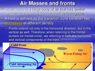
Front: the boundary between two unlike air masses • unlike in temperature, moisture, or both • named according to motion of the cold air
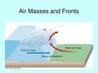
Cold front • Cold air is advancing • 20 mph • leading edge is steep (1:40) • unstable along front: warm air rises over cold air rapidly • short duration (hours) • heavy precipitation in narrow band behind front • followed by clear weather • Symbol :
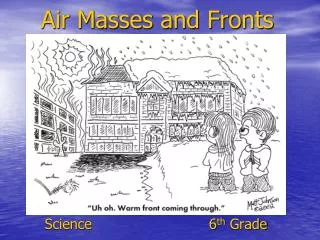
Warm front • Cold air is retreating • 10 mph • leading edge is not steep (1:150) • warm air gently climbs over cold air (not as unstable as cold front) • duration (days) • stratus and nimbostratus clouds • light precipitation in wide band ahead of front • Symbol:
Stationary front • no movement of air masses • precipitation at the front: • not much on warm side • stratus clouds and steady precipitation on cold side • Weather map symbol :
Occluded frontOccluded front occurs when a cold front overtakes a warm front
In occluded fronts, warm air wedge is lifted off of ground; clouds are high, then they lower and thicken into middle and low clouds; precipitation occurs • Symbol : • Occluded fronts are associated with storms called “wave cyclones”
Cyclogenesis: the development of a wave cyclone • Wave cyclone: • migrating center of low pressure • causes storms in the midlatitudes • Form along polar front
Favorable conditions: • “Trough” of low pressure between two Highs along polar front • converging air • unstable
4. Dissolving Stagewarm air mass completely cut off from ground; no more uplift
