Download
1 / 24
240 likes | 367 Views
Magnitude and Spatial Distribution of Uncertainty in Ecosystem Production and Biomass of Amazonia Caused by Vegetation Characteristics. Christopher Potter and Sassan Saatchi NASA Ames Research Center, Moffett Field, California, USA

E N D
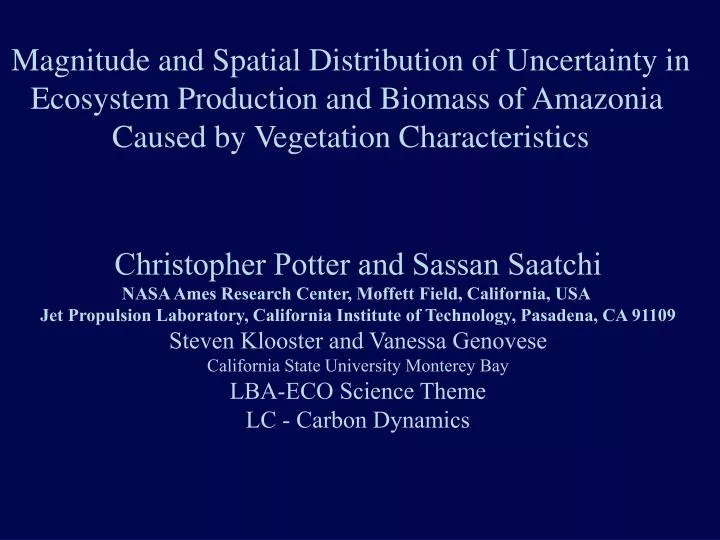
Magnitude and Spatial Distribution of Uncertainty in Ecosystem Production and Biomass of Amazonia Caused by Vegetation Characteristics Christopher Potter and Sassan Saatchi NASA Ames Research Center, Moffett Field, California, USA Jet Propulsion Laboratory, California Institute of Technology, Pasadena, CA 91109 Steven Klooster and Vanessa Genovese California State University Monterey Bay LBA-ECO Science Theme LC - Carbon Dynamics
Existing Vegetation Maps for Model Input JPL Amazon Basin Map Based on SPOT VGT 98-01, JERS-1 95-96, (Saatchi, et al., 2003) UMD global classification Based on AVHRR 92-93 data, (Hansen et al., 2000) TREES Vegetation Map of South America Based on SPOT VGT, JERS-1, ATSR-1, AVHRR, GTOPO30 (Eva et al., 2002) USGS Global Vegetation Map Based on AVHRR 92-93 (Loveland et al., 2000) 5. Woods Hole Research Center Vegetation Map of South America Based on AVHRR 88-91 LAC, GVI (Stone et al., 1994)
Vegetation Map of Amazon Basin Data Fusion (Saatchi et al., 2003) Flooded Nonforest Evergreen Forest Woody Savanna Savanna Secondary Forest Deciduous Forest Flooded Forest Pasture/Crops
Vegetation Map of Amazon Basin Data Fusion SPOT VGT, JERS-1 (Saatchi et al., 2003) Deforestation Pattern in Rondonia, Brazil Santarem Deforestation along Transamazonian Highway BR230
UMD Global Vegetation Map Decision Rule, AVHRR 92-93 Hansen et al., 2000 Deforestation Pattern in Rondonia, Brazil Santarem Santarem Deforestation along Transamazonian Highway BR230
TREES Vegetation Map of South America Multi-Resolution, SPOT VGT, JERS-1, ATSR-1, AVHRR, GTOPO30 Eva et al., 2002 Deforestation Pattern in Rondonia, Brazil Santarem Deforestation along Transamazonian Highway BR230
USGS Global Vegetation Map Standard Supervised, AVHRR 92-93 Loveland et al., 2000 Deforestation Pattern in Rondonia, Brazil Santarem Deforestation along Transamazonian Highway BR230
Woods Hole Research Lab. Vegetation Map of South America Clustering Approach AVHRR 88-91, LAC, GVI Stone et al., 1994 Deforestation Pattern in Rondonia, Brazil Santarem Deforestation along Transamazonian Highway BR230
Percent Cover of Land Cover Types in the Amazon Basin Percent Pixel-to-Pixel Agreement Between Land Cover Types
Percent Pixel-to-Pixel Agreement of Forest Type Between Maps Percent Pixel-to-Pixel Agreement of Nonforest Type Between Maps
Results From Map Comparison Agreement between maps range from 60-75% averaged over all class types Approximately 80% of the basin is covered by forest and the agreements among maps for forest class are above 90% Major disagreement between maps are in nonforested areas. On the average the maps are only 30-50% in agreement. 4. Differences are due to the prediction of deforested and regrowth areas in 1-km resolution maps. Savanna pixels with different degrees of woody vegetation are misclassified as forest or nonforest in different maps. Deforested areas covered with pasture and crops are better estimated by JPL and TREES maps because of the use of high resolution imagery.
NASA-CASA Model (b) Ecosystem Production Nutrient Mineralization (a) Soil Moisture Balance and Plant Functional Types (c) Biogenic Trace Gas Flux f(TEMP) f(WFPS) f(SOLAR) FPAR PPT CO2 NEP NPP PET Biomass M 0 M 1 M 2 M 3 M 0 M 1 M 2 M 3 M 0 M 1 M 2 M 3 Soil Surface Soil Profile Layers Leaf Litter Root Litter Heat & Water Flux Microbes Soil Organic Matter f(WFPS) f(TEMP) f(WFPS) f(Lit q) N2O NO CH4 CO2 Rh f(Lit q) Mineral N Grass/Crop Shrub Tree
NASA-CASA Model Simulations Over Legal Amazon • Five land cover types are used as input layers in the model and all other variables are considered constant for each run • Land cover maps are resampled to 8 km x 8 km grid cells using a majority filter. Cover types are combined to four general classes of evergreen forests, wooded grassland and savanna, pasture and cultivated land, and other classes. Wetland classes are integrated into forest and savanna types. • Annual Net Ecosystem Production (NEP) are simulated for two extreme years: 1983 (dry condition) and 1990 (wet condition). 4. Total above ground wood biomass carbon is simulated for 1990.
NEP Simulations Over Legal Amazon Based on JPL Map (g C m-2 yr-1) 1990 1983 -500 -250 0 250 500 g C m-1 yr-1
Changes in NEP Simulations 1983 No Change > 0 JPL-UMD JPL-TREES < 0 JPL-WHRC JPL-USGS
Changes in NEP Simulations 1990 No Change JPL-UMD > 0 JPL-TREES < 0 JPL-WHRC JPL-USGS
NEP Profile Across Basin, 1983 NEP Profile Across Basin, 1990
Percent Pixel-to-Pixel Agreement of Between NEP-83 Simulations
Percent Pixel-to-Pixel Agreement of Between NEP-90 Simulations
Summary Differences in land cover maps cause 0.1-0.4 pg C yr-1 uncertainty in total Net Ecosystem Production over the Legal Amazon The impact of land cover uncertainties are higher during wet year (carbon sink flux) over the region. Ratio of nonforest area over forest area explains the changes of total annual NEP. Relationship is significant in wet years and insignificant during the dry years (regional source flux). 4. The impacts of uncertainty in land cover types (e.g. deforested, pasture, crops) are the same magnitude of the NEP interannual variability. During dry years other variables such as fire rainfall distribution anomalies dominate the impact of land cover differences
Above Ground Woody Biomass Carbon Derived from NASA_CASA Model Early 1990s 0 5,000 10,000 18,000 g C m-2
Changes in Biomass Carbon 1990 No Change > 0 JPL-UMD JPL-TREES < 0 JPL-USGS JPL-WHRC
Percent Pixel-to-Pixel Agreement of Between Biomass Simulations
Summary • NASA-CASA model predicts 54-58 pg C of above ground woody biomass across legal Amazon for the early 1990s • The impact of land cover differences are on the order of 1-3 pg C that are primarily due to misclassification of areas of nonforest types in land cover maps. • Total forest cover defines the above ground woody biomass carbon. All five maps show above 95% agreement on forest cover. Differences in normalized ratio of nonforest/forest explain changes of above ground woody biomass across the region. • Coarse resolution maps do not allow accurate classification of areas of disturbance on annual basis.