Download
1 / 20
200 likes | 239 Views
Learn about Earth's coordinate system, latitude, longitude, prime meridian, and more for precise navigation. Understand how to calculate positions using degrees, minutes, and seconds.

E N D
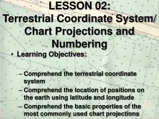
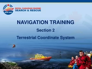
NAVIGATION TRAINING Section 2 Terrestrial Coordinate System
Table of Contents • Section 1 Types of Navigation • Section 2 Terrestial Coordinates • Section 3 Charts • Section 4 Compass • Section 5 Nautical Publications • Section 6 Navigational Aids
Table of Contents • Section 7 Buoyage • Section 8 Position Lines and Fixes • Section 9 Tides • Section 10 Currents • Section 11 Weather
Earth: A “not-so-perfect” Sphere For navigational purposes, it’s considered a “true” sphere with a circumference of 21,600 NM
Terrestrial Coordinate System • Great Circle: The intersection of a plane passing through two points on the surface of the earth and the center of the earth.
Terrestrial Coordinate System • Examples are: The Equator, Meridians of Longitude, the Prime Meridian being through Greenwich, near London, United Kingdom.
Equator • The great circle formed by passing a plane perpendicular to the earth’s axis halfway between its poles.
Equator • The equator divides the earth into northern and southern hemispheres. • One of the two great circles from which all locations on the earth’s surface are referenced.
Terrestrial Coordinate System • Small Circle: A circle formed from the intersection of a plane not passing through the center of the earth. • Examples are Parallels of Latitude
Measurement of Arc Positions in relationship to Earth’s Coordinates system are expressed in: PRONOUNCEDSYMBOL Degrees (°) Minutes (´) Seconds (´´)
Latitude • Latitude - angular distance north or south between the equator and the parallel of a point. Latitude is measured in degrees of arc from 0°-90° either north or south of the equator. • Latitude is measured along a meridian.
Latitude • Latitude is always expressed using 2 digits, e.g 49º • Always given first when giving a position • The length of 1 degree of latitude is always 60NM
Prime Meridian • The meridian that passes through the original position of the Royal Greenwich Observatory near London, England. • Constitutes the second reference line for the terrestrial coordinate system.
Prime Meridian • All other meridians are referenced to the prime meridian; it divides the earth into the eastern and western hemispheres.
Longitude • Longitude - angular distance E/W between the prime meridian and the meridian of a point. • Longitude is measured in degrees of arc from 0 to 180 degrees east or west of the prime meridian. • Longitude is measured along parallels of latitude
Longitude • Longitude is always expressed using 3 digits, e.g 123º. • One degree of long does not equal 60 NM unless measured along the equator. • Always given after Latitude when giving a position.