RTI Project Overview
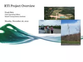
RTI Project Overview. Frank Betz Chief Operating Officer Rahall Transportation Institute Monday, November 26, 2012. Enterprise GIS Site Selector Application.

RTI Project Overview
E N D
Presentation Transcript
RTI Project Overview Frank Betz Chief Operating Officer Rahall Transportation Institute Monday, November 26, 2012
Enterprise GIS Site Selector Application • RTI is currently working with the WV Development Office (WVDO) and the Office of Coalfield Community Development (OCCD) on an Enterprise GIS economic development application. • The application will allow WVDO and OCCD to access, manage, disseminate and display both spatial and non-spatial data using available client and mobile connections. • The goal of the project is to facilitate the identification of ideal sites for development in coalfield counties by assisting the OCCD in fulfilling its mission to provide long-term economic viability after mining, as well as to identify post-mine development opportunities within a mining permit. • Phase I of this project includes the establishment of an ArcGIS server to deliver GIS capabilities, hosting a web application and integrating legacy and new data into a spatial data system.
Benefits of the Enterprise GIS System • Integration of legacy coalfield county data, information and systems • Powerful problem-solving and decision-making tool to determine • land and infrastructure needs for general area of a mining operations • post-mining site opportunities through rapid analysis of spatial information • Entire department can be linked to a centralized geospatial data warehouse (data silo)
Land Use Master Planning • RTI is working with the Office of Coalfield Community Development (OCCD) on system to facilitate Land Use Master Plan (LUMP) updates by counties with surface mining operations as mandated by Senate Bill #603 passed in 2001. • The goal of this project is to assist counties to update their LUMPs in a streamlined manner • to stay in compliance with state law • to promote sustainable land use planning to cultivate community development needs • The detailed LUMP • addresses development needs of coalfield county properties • provides required spatial analysis on existing available sites • provides guidelines, strategies and a framework for future community land use decisions
Benefits of Land Use Master Planning • Substantiates long-term planning and economic development decisions • Allows early identification of best mine sites for future development • Increased employment Projected Job Growth on PMLU Sites in Mingo County
Comment & Questions Frank Betz Chief Operating Officer Rahall Transportation Institute fbetz@njrati.org (304) 696-3877