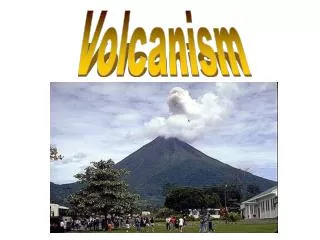
Volcanism: Hazards and Benefits
700 likes | 727 Views
Explore the impact of volcanism worldwide, from destructive volcanic hazards to the benefits of new land creation. Learn about volcanic threats in developing nations like Africa and the unique features of Mt. Cameroon and Lake Nyos. Discover how science is used to study and solve problems related to volcanic activity.

Volcanism: Hazards and Benefits
E N D
Presentation Transcript
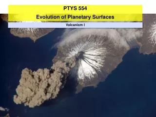
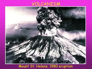
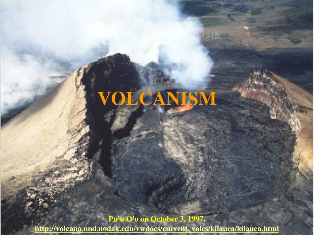
VOLCANISM Pu'u O'o on October 3, 1997.http://volcano.und.nodak.edu/vwdocs/current_volcs/kilauea/kilauea.html
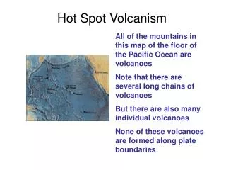
Perspective On Volcanism • Volcanoes form at: • Hot Spots
Perspective On Volcanism • Volcanoes form at: • Hot Spots • Spreading Centers
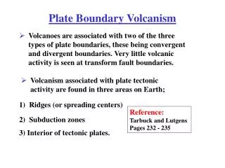
Perspective On Volcanism • Volcanoes form at: • Hot Spots • Spreading Centers • Convergent Plate Boundaries • Ocean – Ocean • Ocean–Continental
Perspective On Volcanism • Volcanism threatens to destroy numerous major cities • Popocatepetl - Mexico City • Mt. Vesuvius – Naples • Mt. Merapi – Jogjakarta • Mt. Rainier – Seattle area • Mt. Hood - Portland • Huge Populations have grown in Volcanic Areas
VEI (Volcanic Explosivity Index) Created by Newhall and Self (1982) and later updated by Simkin and Siebert (1994)Source: Smithsonian’s Global Volcanism Network
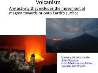
Volcanic Hazards • Direct • Gas • Lahars (Volcanic Mudflows) • Lava flows • Pyroclastic Flows • Tsunami • Indirect • Famine
Benefits of Volcanoes • Produce great amounts of new land • Frequently produce very fertile soils • Provide Geothermal Power • Recreation
Volcanoes of the World http://volcano.und.nodak.edu/vwdocs/volc_images/volc_images.html
Africa – Geologic Overview • 200 m.y.a. - Breakup of Pangaea • ~55 m.y.a. – Afro-Arabian rifting began • Most African volcanoes are the result of hot spots, rifting, or a combination of the two.
Cameroon – Mt. Cameroon • Population: 16,063,678 • Government • Generally stable, political power is an ethnic oligarchy. • Natural hazards • volcanic activity from Lake Nyos and Lake Monoun volcanoes • Current issues include: • water-borne diseases prevalent; deforestation; overgrazing; desertification; poaching; overfishing
Cameroon – Mt. Cameroon • Type of volcano: stratovolcano • Known to locals as Mount Faka and “Chariot of the Gods” • Eruptions occur on the flanks of the volcano • Cinder cones and lava flows
Cameroon – Mt. Cameroon • 1999 – 2000 eruption • Primarily basaltic lava flows • Many villages threatened, evacuations ordered • Many roads disrupted Photo by J. P. Lockwood Average thickness of flow is 10-12 m, 33-39 ft.
Cameroon – Lake Nyos • Type of volcanism: Maar • A volcanic crater that is produced by an explosion in an area of low relief, is generally more or less circular, and often contains a lake, pond, or marsh. (http://volcano.und.nodak.edu/vwdocs/glossary.html) Landsat image of Lake Nyos processed by Sarah Sherman, April 2000.
Cameroon – Lake Nyos • Maars in Oku volcanic field formed during an explosive eruption of carbon dioxide gas • Lake Nyos formed about 400 years ago
Cameroon – Lake Nyos • August of 1986 Lake Nyos • 1 km of CO2 released • ~1700 people killed up to 26 km away from the lake • August of 1984 • smaller gas burst from Lake Monoun • 37 people killed Photo by Jack Lockwood, U.S. Geological Survey
Cameroon – Lake Nyos • Only three lakes in the world are known to contain high concentrations of dissolved gas in their bottom waters: • Lakes Nyos and Monoun in Cameroon • and Lake Kivu in East Africa. • Only Lakes Nyos and Monoun are known to have recently released gas resulting in the loss of human life. Using Science to Solve Problems: The Killer Lakes of Cameroon By Dr. George Kling
African Rift Zone • Type of volcanism: Rifting • Two branches: • Eastern or Great Rift zone • Jordan River, the Dead Sea, and the Gulf of Aqaba. • The Red Sea • Ethiopian Denakil Plain to Lakes Rudolf (Turkana), Naivasha, and Magadi in Kenya. • Shire River valley and Mozambique Plain to the coast of the Indian Ocean near Beira, Mozambique
African Rift Zone • Type of volcanism: Rifting • Two branches: • Western zone • Extends from Lake Nyasa north through Lakes Rukwa, Tanganyika, Kivu, Edward, and Albert.
Goma & Nyiragongo, Congo Lake Nyos, Cameroon Western Rift Zone
Nyiragongo, Democratic Republic of Congo (Zaire) • Population: 58,317,930 • Government • Dictatorship; ethnic strife and civil war, touched off by a massive inflow of refugees from the fighting in Rwanda and Burundi
Nyiragongo, Democratic Republic of Congo (Zaire) • Natural hazards • periodic droughts in south; Congo River floods (seasonal); active volcanoes in the Great Rift Valley • Current issues include: • poaching threatens wildlife populations; water pollution; deforestation; refugees responsible for significant deforestation, soil erosion, and wildlife poaching;
Nyiragongo, Democratic Republic of Congo (Zaire) • Type of volcanism: Stratovolcano (in EARZ) • Formed ~20,000 years ago • One of the “Decade” Volcanoes
Nyiragongo, Democratic Republic of Congo (Zaire) • Recent Eruptions • 1977 • lava lake in crater drained in <1 hour • flank eruptions moved at 40 mph • 70 deaths from one eruption, 2000 deaths total for the year • Eruption formed a fracture system that led partway down to the city of Goma
Nyiragongo, Democratic Republic of Congo (Zaire) • Recent Eruptions • 2002 • Lavas unusually low in SiO2 • Flowed rapidly down the slope, through the city of Goma to Lake Kivu • 45 people killed • City of Goma largely destroyed, refugee crisis
Nyiragongo, Democratic Republic of Congo (Zaire) January 17, 2002, less than 1 hour after the eruption began. Hot spots
Nyiragongo, Democratic Republic of Congo (Zaire) • Nyiragongo Volcano Erupts • Ash and steam were pouring from the Nyiragongo Volcano on July 12, 2004, when the Moderate Resolution Imaging Spectroradiometer (MODIS) onboard NASA’s Terra satellite captured this image. • http://earthobservatory.nasa.gov/Newsroom/NewImages/images.php3?img_id=16606
Nyiragongo, Democratic Republic of Congo (Zaire) Computer Mapping of Nyiragongo Volcano This computer-generated visualization combines a Landsat satellite image and an elevation model from the Shuttle Radar Topography Mission (SRTM) to provide a view of Nyiragongo Volcano (right of center) and the city of Goma (pink area along shoreline in foreground), located in the Democratic Republic of Congo http://earthobservatory.nasa.gov/Study/monvoc/monvoc2.html
Lava lake at Nyiragongo. Photograph of the lava lake by Jack Lockwood, U.S. Geological Survey, August 24, 1994.
Questions to ponder . . . • Many African nations are in a period of civil and political unrest • Ethnic “cleansing” • Civil war • Poverty • Famine • Drought • How might a volcanic eruption affect the population?
Harrat Hutaymah, Saudi Arabia • Population: 25,795,938 • Government • Generally stable, monarchy. • Natural hazards • frequent sand and dust storms • Current issues include: • desertification; depletion of underground water resources; lack of perennial rivers or permanent water bodies; coastal pollution from oil spills
Harrat Hutaymah, Saudi Arabia • Volcanism is the result of rifting • "Harrat" is Arabic word which means "stony area volcanic country or lava field." • Volcanism assymetric
Harrat Al Birk, Saudi Arabia • Dark-colored volcanic cones sprout from an ancient lava field known as Harrat Al Birk along Saudi Arabia's Red Sea coastline. • Many such lava fields dot the Arabian Peninsula and range in age from 2 million to 30 million years old. • http://earthobservatory.nasa.gov/Newsroom/NewImages/images.php3?img_id=16517
Harrat Hutaymah, Saudi Arabia • Tabah • Small town in a tuff ring
Questions to ponder . . . • While there is not a large population base in the volcanic province of Saudi Arabia, there are several important cities within it. • What would happen if volcanic activity commenced near the holy city of Mecca?
Indonesia – Geologic Overview • Comprised of more than 13,000 islands • Volcanic island arcs • Sunda Arc - subduction of Australian-Indian Plate beneath the Asian Plate = Java Trench • Banda Arc - subduction of Pacific Plate beneath the Philippine Sea Plate = Marianas Trench
Indonesia – Geologic Overview • Largest number of active volcanoes (76) • 1,171 dated eruptions (second only to Japan)
Krakatoa (Krakatau), Indonesia • Type of volcano: resurgent caldera • Inactive for 200 years before 1883 • Eruption began in May and climaxed on August 26 & 27 • VEI = 6 • Lava, ash, and gas erupted • Ash covered neighboring islands • Pumice choked the Sunda Strait
Krakatoa (Krakatau), Indonesia • Eruption began in May and climaxed on August 26 & 27 • Suddenly 10 sq miles collapsed • A strong earthquake occurred • Sound could be heard 3000 miles away • Tsunami over 100 feet high killed 36,000 people in Java and Sumatra
Toba, Sumatra • Type of volcano: stratovolcano • Last erupted 74,000 years ago • The resultant caldera formed Lake Toba, 100 km long, 60 km wide • 3,000 km3 of ejected material + large quantities of SO2