Download
1 / 13
140 likes | 303 Views
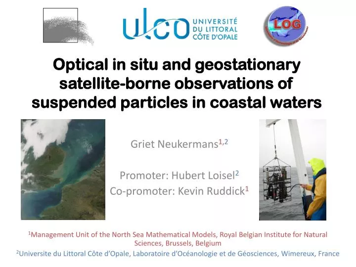
Optical in situ and geostationary satellite-borne observations of suspended particles in coastal waters. Griet Neukermans 1, 2 Promoter: Hubert Loisel 2 Co-promoter: Kevin Ruddick 1.

E N D
Optical in situ and geostationary satellite-borne observations of suspended particles in coastal waters Griet Neukermans1,2 Promoter: Hubert Loisel2 Co-promoter: Kevin Ruddick1 1Management Unit of the North Sea Mathematical Models, Royal Belgian Institute for Natural Sciences, Brussels, Belgium • 2Universite du Littoral Côte d’Opale, Laboratoire d’Océanologie et de Géosciences, Wimereux, France
Suspendedparticulatematter (SPM) [SPM] mg L-1 =material retained on a filter via filtration of seawater =living and non-living particles > ~0.4mm 0.1 mm Phytoplankton and zooplankton • Abundant in SNS • Highlydynamic due to tides and winds • Stronglyrelated to turbidity (T) and in-water availability of sunlight 1 mm 0.1 mm Detritusandsediments
Monitoring SPM withopticalsensors • In situ • Fromspace Source: Boss et al. (2003) • Oceancoloursensors • Large spatial coverage • Limited temporal coverage (e.g. SNS: 1-2 scenes/day) • Continuousmeasurement • Limited spatial coverage • Insufficient to capture highdynamics of SPM!
Satellite orbits 800km SEVIRI EuropeanMeteorologicalsensor Geostationary (SEVIRI) No colour low spectral resolution Low spatial resolution (3km) Lowsensitivity (designed to look atclouds and ice) 1/3 globe covered every 15 minutes 36000km • Polar-orbiting • Oceancolour satellites (e.g. MODIS) • high spectral resolution • high spatial resolution (300m) • Globalcoverageevery 2 days • SNS: 1-2 scenes per day • Source of [Chl a] and [SPM] since 1980’s
? Can SEVIRI beused to detect the highspatio-temporaldynamics of [SPM] in the SNS? • Can weget a marine signal from SEVIRI? • removal of atmospheric signal - uncertainty? • How does the marine signal relate to [SPM], T? • uncertainty? • Does SEVIRI detect the high temporal dynamics of [SPM] and T? Source: Boss et al. (2003) Get marine signal from SEVIRIMarine signal → [SPM] , TCompare satellite data to in-situ
Highest (>100%) uncertainties in clearest waters due to sensordigitization High (>20%) uncertainties in mostturbid waters due to atmospheric correction SEVIRI vs. MODIS marine signal 6 May 2008, 13h UTC Best detection range: 0.004< <0.08 = 1 mg L-1<[SPM]< 35 mg L-1 = 1 FNU<T< 35 FNU SEVIRI SEVIRI MODIS MODIS 8 March 2009, 13h UTC
in situ T data: SmartBuoys D WG TH1 T T (FNU) on 11 February 2008, 12:00 h UTC Mills et al. (2003) in situ T every 30 minutes Get marine signal from SEVIRIMarine signal → [SPM] , TCompare satellite data to in-situ
Diurnal variability of T SEVIRI SEVIRI Buoy Buoy MODIS MODIS Get marine signal from SEVIRIMarine signal → [SPM] , TCompare satellite data to in-situ
Diurnal variability of T SEVIRI SEVIRI Buoy Buoy MODIS MODIS Get marine signal from SEVIRIMarine signal → [SPM] , TCompare satellite data to in-situ
SEVIRI daily composite of 34 images Quasi cloudfree MODIS: 1 image 60% clouded remotelysensed ( ) vs. in-situ ( , ) diurnal variability of turbidity SEVIRI SEVIRI Buoy Buoy t(Tmax) MODIS MODIS t( ) Get marine signal from SEVIRIMarine signal → [SPM] , TCompare satellite data to in-situ
Whereelsecanthiswork? GOCI COMS SEVIRI MSG MSU Electro
This thesis was funded by the Belgian Science Policy Office (BELSPO) STEREO Programme in the framework of the BELCOLOUR2 and GEOCOLOUR projects. This work was also supported by Centre National d’EtudeSpatiale (CNES) in the frame of the COULCOT project (TOSCA program).
List of peerreview publications • Neukermans G., K. Ruddick, H. Loisel, and P. Roose, 2012. Optimization and quality control of suspended particulate matter concentration measurement using turbidity measurements. Limnology and Oceanography Methods (10): 1011–1023. DOI: 10.4319/lom.2012.10.1011 • Ruddick, K., Q. Vanhellemont, J. Yan, G. Neukermans, G. Wei, and S. Shang, 2012. Variability of suspended particulate matter in the Bohai Sea from the Geostationary Ocean Imager (GOCI). Ocean Sciences Journal, 47(3). • Neukermans G., K. Ruddick and N. Greenwood. Diurnal variability of turbidity and light attenuation in the southern North Sea from the SEVIRI geostationary sensor. Remote Sensing of Environment, 124: 564–580. doi: 10.1016/j.rse.2012.06.003 • Neukermans G., Loisel H., Mériaux X., Astoreca R. & McKee D., 2012. In situ variability of mass-specific beam attenuation and backscattering of marine particles with respect to particle size, density, and composition. Limnology and Oceanography (57): 124–144. DOI: doi:10.4319/lo.2011.57.1.0124. • Vantrepotte V., H. Loisel , X. Mériaux, G. Neukermans, D. Dessailly, C. Jamet, E. Gensac, and A. Gardel, 2011. Seasonal and inter-annual (2002-2010) variability of the suspended particulate matter as retrieved from satellite ocean color sensor over the French Guiana coastal waters. Journal of Coastal Research (in press). • Nechad B., Ruddick, K.G. and G. Neukermans, 2009. Calibration and validation of a generic multisensor algorithm for mapping of turbidity in coastal waters. Proceedings of SPIE "Remote Sensing of the Ocean, Sea Ice, and Large Water Regions" Conference held in Berlin (Germany), 31 August 2009. Proc. SPIE Vol. 7473, 74730H. • Neukermans G., K. Ruddick, E. Bernard, D. Ramon, B. Nechad and P.Y. Deschamps, 2009. Mapping Total Suspended Matter from geostationary satellites: a feasibility study with SEVIRI in the Southern North Sea. Optics Express, 17(16):14029-14052. Get marine signal from SEVIRIMarine signal → [SPM] , TCompare satellite data to in-situ