Download
1 / 1
10 likes | 155 Views
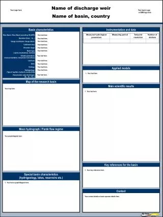
Applied models. Map of the research basin. Main scientific results. Mean hydrograph / Pardé flow regime. Key references for the basin. Special basin characteristics (hydrogeology, lakes, reservoirs etc.). Contact. Name of discharge weir Name of basin, country. Your Logo here.

E N D
Applied models Map of the research basin Main scientific results Mean hydrograph / Pardé flow regime Key references for the basin Special basin characteristics (hydrogeology, lakes, reservoirs etc.) Contact Name of discharge weir Name of basin, country Your Logo here Your basin Logo or ERB logo here Basin characteristics Instrumentation and data Your text here. River Basin / River Basin (according EU-WFD) Operation (from… to…) Gauge coordinates / Gauge datum: Catchment area: Elevation range: Basin type: ( alpine, mountainous, lowland) Climatic parameters: (mean precipitation, temperature and others) Land use: Soils: Geology: Hydrogeology: (Type of aquifers, hydraulic conductivity) Characteristic water discharges: (Qmin, Qmax, Qmean) Your text here. Your text here. Your text here. Your text here. Your text here. Your text here. Your text here. • Name of catchment: Lange Bramke • Catchment Area: 0.76 km² • Elevation: 537-700 m a.m.s.l. • Average slope: 12.5 % • Vegetation: 90% Norwegian spruce, 10% grassland • Soil: podsolic brown earth, brown earth Podsol, Pseudogley • Geology: sandstones, shaly quartzite • Hydrogeology: fractured aquifer with a shallow porous aquifer overlay along the stream channel Your text here. Your text here. Your text here. Your text here. Your text here. Your text here. Your map here Your text here. Your graph/diagram here. Your key references here. Your text or graph/diagram here. Your contact details or basin operator details here .