Download
1 / 13
130 likes | 279 Views
SCIENCE PROCESSING OVERVIEW. 07 July 2009. David Le Vine Aquarius Deputy PI. Data Definitions. Data Files. * RFI and Glitch detection filters. Science Ground Processing Flow Diagram . Radiometer Calibration. Aquarius/SAC-D CONAE. L1A: Formatting Ephemeris/Time

E N D
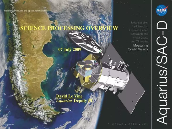
SCIENCE PROCESSING OVERVIEW 07 July 2009 David Le Vine Aquarius Deputy PI
Data Definitions Data Files *RFI and Glitch detection filters
Science Ground Processing Flow Diagram Radiometer Calibration Aquarius/SAC-D CONAE L1A: Formatting Ephemeris/Time Geolocation Calibration Counts TA Temp correction Gain Glitch Detector TA To L2B File Flags RFI Filter L1B: Scatterometer Calibration RFI / Ice Flags Ancillary Data NCEP and SST Solar Flux IGS Land Mask Galactic Background To L2B File Average: 1.44 sec L1B L2A: Scatterometer Geophysical Algorithm Calibrated Sigma0 Average <1.44sec> Geophysical Algorithm Remove Sky APC Faraday Rotation Propagate to Surface TB at surface L2A Faraday Rotation Alternative: IGS L2B File TB surface L2B: Wind or ΔTB Cal/Val AVDS Cold Sky SSS Retrieval L2B To L3
Science Ground Processing: Implemented blocks Radiometer Calibration Aquarius/SAC-D CONAE L1A: Formatting Ephemeris/Time Geolocation Calibration Counts TA Temp correction Gain Glitch Detector TA To L2B File Flags RFI Filter L1B: Scatterometer Calibration RFI / Ice Flags Ancillary Data NCEP and SST Solar Flux IGS Land Mask Galactic Background To L2B File Average: 1.44 sec L1B L2A: Scatterometer Geophysical Algorithm Calibrated Sigma0 Average <1.44sec> Geophysical Algorithm Remove Sky APC Faraday Rotation Propagate to Surface TB at surface L2A Faraday Rotation Alternative: IGS L2B File TB surface L2B: Wind or ΔTB Cal/Val AVDS Cold Sky SSS Retrieval L2B To L3
Science DocumentationAlgorithm Theoretical Basis Documents: ATBD • Radiometer: • L1B: Geolocation • Delivered • L2A and L2B: SSS Retrieval Algorithm • Delivered (Update, January, 2008) • Revision : October, 2009 • Scatterometer • L1 and L2: Due May, 2010 • Level 3: Gridding • Delivered Data Files
Radiometer Flags • RFI: Wentz/Ruf • Based on algorithm by C. Ruf • Code provided by F. Wentz • Input: Calibrated radiometer TA • Rain: Wentz • Flags rain in main beam and corrects for liquid water • Input: NCEP rain and/or MWR • Status: research needed to use MWR and/or improve product • Land: Wentz • Generates a weighted land fraction (land fraction weighted by the antenna pattern) • Input: Antenna patterns and orbit geometry • Ice : Le Vine • Generates a weighted ice fraction • Input: Antenna patterns, orbit geometry and sea ice data (TBD) • Research needed to determine appropriate source of sea ice data. • Wind Speed • Generates a flag level of wind (e.g. W < 7 m/s; 7 < W < 15; W > 15 m/s) • Input: Same windspeed as used in the SSS retrieval (NCEP, MWR, or Scatt) • Unusual TB • Compares measured TB with forward model and flags outliers • Input: Actual SST and reference SSS (e.g. smoothed Argo field, or HYCOM output) • Use TB at surface (but TB at TOA or TOI are also possible)
Flags Continued 1 • Sun1: Mean Sun; Le Vine • Computes TA due to sun and issues a level (Green, yellow, red) to indicate potential contamination • One flag for direct and one for reflected ray • Input: Noon time solar flux from Air Force RSTN station at Sagamore Hill plus antenna patterns • Sun2: Solar Flare; Le Vine • Computes TA due to solar flares and issues a level (Green, yellow, red) to indicate potential problem • One flag for direct ray and one for reflected ray. • Input: RSTN data on solar microwave bursts at L-band. • Sun3: Illuminated Ocean; Le Vine • Indicates times when small scale roughness may cause reflected sun to enter near the main beam. • Three level flag • Input: Wind speed plus static look up table (this is will be computed using fixed parameters as a function of wind speed using two scale model for the rough surface) • Moon: Le Vine • Computes TA due to the Moon and issues a flag when the reflected ray approaches boresight (twice each month) • Flag with three levels • Input: Static look up table based on orbit ephemeris • Galactic: Le Vine • Computes the contribution of radiation from the galaxy scattered into the mainbeam. • There level flag • Input: Wind speed and SST and reference SSS. Rough surface and smooth surface look up table.
Flags Continued2 • Gain Jump: Piepmeier • Identifies gain glitches • Yes or No • Input: Radiometer output
Ancillary Data • Land Mask: RSS or GSFC data base • 1/12 deg resolution (GSFC/MODIS at 1 km) • Either mask is acceptable. The difference should not matter. • Galactic Background : Avialable at the Aquarius website • http://oceancolor.gsfc.nasa.gov/AQUARIUS/DinnatEtAl2009/galacticMap_docu.html • Sun: The Air Force Radio Solar Telescope Network (RSTN) provide solar flux • Mean Value : ftp://ftp.ngdc.noaa.gov/STP/SOLAR_DATA/SOLARRADIO/FLUX/ USAF_NOON_FLUX/ • Flares: ftp://ftp.ngdc.noaa.gov/STP/SOLAR_DATA/SOLAR_RADIO/BURSTS/ • Atmosphere (pressure, temperature and humidity profiles): • NCEP GFS GDAS (Operational Product with a 6-9 hour delay) • One degree resolution: ftp://ftpprd.ncep.noaa.gov/pub/data/nccf/com/gfs/prod/ • Atmosphere: total liquid water • NCEP GFS GDAS (Operational product with 6-9 hour delay) • One degree resolution: ftp://ftpprd.ncep.noaa.gov/pub/data/nccf/com/gfs/prod • Also: MSP (SSM/IS brightness temperature from Remote Sensing Systems) • Also: MWR and/or GPM ? .
Ancillary Data: Cont • Sea Surface Temperature: • NCEP OISST product (Reynolds) • Daily at 0.25 degree resolution • ftp://ftpprd.ncep.noaa.gov/pub/data/nccf/cmb/sst/oisst_v2/ • Sea Surface Winds: NCEP GDAS (Operational Product with a 6-9 hour delay) • ftp://ftpprd.ncep.noaa.gov/pub/data/nccf/com/gfs/prod/ • Also: MWR and/or Scatterometer • Sea Ice (Concentration, extent and age) • TBD: GSFC team (Le Vine) to research and define optimum product • Goal is to have a flag for ice contamination (weighted beam fraction) • Candidates: • NOAA/MMB or NSIDC(DMSP product) • Daily (1-2 days delay; 12.7 km MMB or 25 km NSIDC) • http://www.nsidc.org (registration or subscription) • ftp://polar.ncep.noaa.gov/pub/ice/ • Ionosphere: Earth Magnetic Field • International Geomagnetic Reference Field (IGRF) • Code: http://www.ngdc.noaa.gov/IAGA/vmod/igrf10.f • Ionosphere: Total Electron Content • IGS rapid product • ftp://cddis.gsfc.nasa.gov/gps/products/ionex/.
Data Definitions Data Files
Schedule and Milestones • Simulated Data • Radiometer • June 15: Tests file to Ground System (Done) • June 30: One week of data • July 1 – Aug 15: Continue sending data until complete (one year simulated) • Scatterometer • July 1: Test file delivered (under review; updated July 31) • End of August: Start generation of 1 yr of simulated data (completed mid-September) • End of October: Deliver code for L2 algorithm • February 2010: L2 processor update • Radiometer Software Update: October 30 • Mods to Geophysical algorithm • Move APC • Add galactic background (smoothed map) • Complete radiometer calibration (Counts to TA) • June 30: Code & data delivered from instrument team to science team • October 30: Code delivered by science team to ground system. • Add Flags • Updates to ground system and RSS as available • All flags ready to implement by October 30 • Things Remaining to be Added • Gain glitch filter • Roughness model for reflected galactic background • Sun correction when in daylight and when backscatter occurs from small scale roughness • Land correction (Land fraction will be flagged but no correction in the October code)