Download
1 / 4
40 likes | 57 Views
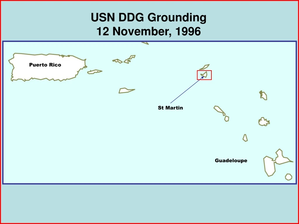
This incident report details the grounding of a US Navy DDG off the coast of Puerto Rico in November 1996. The ship encountered navigational challenges and interference from other vessels, leading to its grounding.

E N D
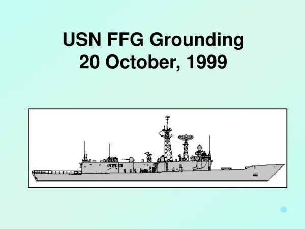
USN DDG Grounding12 November, 1996 Puerto Rico St Martin Guadeloupe
Puerto Rico St Martin Vieques Guadeloupe ILE SAINT-MARTIN (FRANCE) ILE SAINT-MARTIN (FRANCE) SINT MAARTEN (NETHERLANDS) SINT MAARTEN (NETHERLANDS) GROOT BAI 10 10 20 20 30 Soundings in meters 50 She was scheduled to rendezvous off Vieques in the afternoon. USN DDG was departing anchorage off St Martin on the morning of 12 November, 1996.
GROOT BAI (GREAT BAY) 1000 yds Soundings in Meters Cruise Ship Anchored Dutch FF Anchored 10 Cruise Ship Anchored DDG LCM-8 (CHT) Wind 15 Kts Current ½-1 Kt SS Norway U/W Proceeding to anchorage 20 Shoal water is approx 1600 yds South of DDG Anchorage Position 10 5 20 Proselyte Reef There were several vessels anchored in the DDG’s vicinity. The ship weighed anchor at 0818. Two underway vessels, the CHT barge (an LCM-8) and an inbound cruise ship, interfered with the planned 263°T track. Intended Track 263°T The CO decided to head south, cross ahead of the two vessels and then head to the west.
0815 Fix 0820 Fix 0815 Fix 0822 Fix Bridge Positions 0820 Fix CIC Positions 0824 Fix 0824 Fix Reconstructed Positions 1000 Yards Wind from 090/15kts 0826 Fix 26 DR 0826 Fix 26 DR 27 DR 0827 Fix 28 DR 0828 Fix First “hit” 0828 GPS (ordered after impact) Planned Track 263°T Planned Track 263°T 0818 U/W A/A 3Kts 0819 RFR 0821 5Kts 0822 7Kts 0823 10Kts c/c 180 0825 Plotter tells NAV that shoal is 1200 yds off STBD bow from 0824 fix. 760 yds between 0824 and 0826 Fix =11.4 SOG. 180 yds set in 2 min =2.7 kts set. Charted position of missing buoy Proselyte Reef