Riverside County Habitat Conservation Agency
Riverside County Habitat Conservation Agency. Promoting Successful Land Management through Responsible Conservation, Coordination & Collaboration. Background. Why the RCHCA was formed

Riverside County Habitat Conservation Agency
E N D
Presentation Transcript
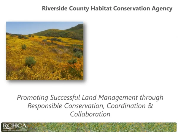
Riverside County Habitat Conservation Agency Promoting Successful Land Management through Responsible Conservation, Coordination & Collaboration
Background • Why the RCHCA was formed For the acquisition, administration, operation, and maintenance of land and facilities for ecosystem conservation and habitat reserves for the Stephens’ kangaroo rat and other listed or candidate threatened or endangered species
Stephens’ Kangaroo Rat (Dipodomys stephensi) • A species of rodent in the Heteromyidae family • Endemic to Southern California • Natural habitat is sparse grassland and coastal sage scrub • Listed as Endangered in 1988 • Threatened by habitat loss as a result of economic growth and development
History of the RCHCA • Habitat Conservation Plan (HCP) • Allowed development in Riverside County in spite of the SKR listing • Eight Core Reserves of 46,000 acres of conserved lands for the purpose of habitat protection of SKR • Lake Mathews / Estelle Mountain • Motte/Rimrock • Potrero ACEC • Potrero • San Jacinto/Lake Perris • Southwest Riverside County Multi-Species Reserve • Steele Peak • Sycamore Canyon Wilderness Park
Geospatial Solutions Trimble Handheld Computers Very Accurate (sub-meter) Powerful GPS works in various habitats (with additional hardware) Expensive Requires lots of training for proper use ESRI Collector App Works on mobile smart devices (Android and IOS) Inexpensive Cloud based Very easy to use, requires little training for end user Accurate (2 meter average difference between Trimble and Iphone) Fully integrates into ArcGIS
Small Unmanned Aerial Vehicle Inexpensive (Aproximately $1000) No delay in imagery Estimated to cover approximately 500 acres per hour of flight time Simple to operate after initial configuration Can fly in flight restricted areas with FAA approval Post processing of images can be carried out with ArcGIS Site and species specific