Download
1 / 34
340 likes | 356 Views
Explore the process of urbanization, major patterns associated with it, and the challenges of urban and suburban development in both developed and developing countries. Review Central Place Theory and understand why cities look the way they do. Discover the concepts of centralization, agglomeration, functional zonation, suburbanization, and sprawl.

E N D
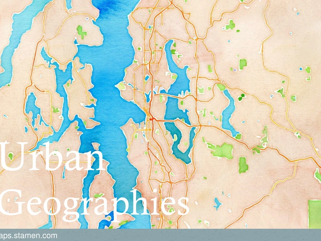
UrbanGeographies http://maps.stamen.com
Objectives • Describe urbanization and major patterns associated with it. • Review Central Place Theory in relation to cities. • Discuss urban and suburban development challenges in US. • Contrast problems in US with problems in LDCs.
Urbanization • Process of concentrating people in urban places • The process of growing urban areas • Can be measured two ways: • Level of urbanization - % of people living in urban areas in a particular region • Rate of urban growth – the annual % increase in an urban population
Year Percentage urban 1950 28.8 1955 30.9 1960 33.0 1965 34.9 1970 36.1 1975 37.2 1980 38.9 1985 40.8 1990 42.6 1995 44.5 2000 46.4 2005 48.6 2009 50.1 2010 50.5 2015 52.4 2020 54.4 2025 56.6 2030 59.0 2035 61.4 2040 63.9 2045 66.3 2050 68.7 WorldPercentage urban (%)1950-2050 Source: Population Division of the Department of Economic and Social Affairs of the United Nations Secretariat, World Population Prospects: The 2008 Revision and World Urbanization Prospects: The 2009 Revision, http://esa.un.org/wup2009/unup/,
Percentage urban and urban agglomerations by size class How Urban are Countries? Source: United Nations, Department of Economic and Social Affairs, Population Division: World Urbanization Prospects, the 2011 Revision. New York 2012
Urbanization Facts from the World Bank • 3.5 billion people live in cities. • 21 megacities –population >10 million • 60% of all people will live in cities in developing countries by 2030—and 70% by 2050 according to our book. (In 1800 only 2% did, and in 1950, only 30% did) • Roughly 180,000 people move into cities each day. • http://news.bbc.co.uk/2/shared/spl/hi/world/06/urbanisation/html/urbanisation.stm
http://matthartzell.blogspot.com/2013/09/infogeographic-comparing-urban.html?view=sidebarhttp://matthartzell.blogspot.com/2013/09/infogeographic-comparing-urban.html?view=sidebar
http://matthartzell.blogspot.com/2013/09/infogeographic-comparing-urban.html?view=sidebarhttp://matthartzell.blogspot.com/2013/09/infogeographic-comparing-urban.html?view=sidebar
Questions • Why does urbanization happen?
Central Place Theory • Walter Christaller—worked on these ideas in the 1930s. Suggests “market forces account for the distribution of central places in an area, and that the optimal spatial arrangement of central places creates hexagonally shaped trade areas.” Explains an urban hierarchy based on threshold, range, and market area/hinterland.
Central Place Theory • Range – distance someone will travel for a good or service. • High range services • Threshold – minimum # of people required to support the business. • High threshold services • Market area – places from which customers are attracted.
Central Place Theory Assumptions • Landscape is flat and uniform. • Population is evenly distributed with similar purchasing capacity. • People will be rational! They will go to the closest place to get the things they need.
Hierarchy of Urban Settlements • Settlements follow a regular pattern • Smallest settlements have the fewest services/goods, larger settlements have more diversity and specialization of services/goods. • Rank-size rule: The nth city is 1/nth the size of the largest city
Other Urban Structures • Urban primacy • Primate cities – have populations two or more times the size of the second largest city. • Uneven growth Mexico City Mexico.vg Rio de Janeiro Ekosystem.org; orangesmile.com
One Classification of World Cities Hinterworld—the global market area served by a world city
Urban Ecology and Social Area Analysis Urban ecology: the social / demographic composition of city districts and neighborhoods. Thinking about where people live and why is called a social area analysis. • http://spatialjustice.org
Why Do Cities Look the Way They Do? • Centralization – processes/forces that draw people and businesses downtown. • Agglomeration – occurs in different types of places—clustering of similar business/activities. • Functional zonation – the division of a city in to areas that are similar in usage. • Filtering – gradual transitioning of neighborhoods from high/middle income neighborhoods to low income.
Why Do Cities Look the Way they Do? • Decentralization • Suburbanization – relocates businesses, services, and people to the burbs. • Sprawl– rate of land urbanization exceeds rate of population growth. Population change maps
Suburbanization • A flattened population density gradient as people move out of the city center. • Used to see a density gradient where density decreased with increasing distance from the city center. • Possible because of the highway systems and because so many people own cars. Photo by David Shankbone Urban Expansion: Annexation of land to city jurisdictions. More and more places end up organizing their own jurisdiction.
What Kinds of Problems Are Associated with Inner Cities in MDCs? • Remember redlining, white flight, and blockbusting? • Seattle Map – Home Owners Loan Corporation • Helped influence change in the city structure by tending to approve loans in suburban areas.
Urban Redevelopment • Process of redeveloping part of a city • Government can take over “blighted” properties (Federal Housing Act 1949) • Eminent Domain • Housing Projects • Gentrification – redevelopment/restoration of properties by affluent peoples. • Problems? • Gentrifying Harlem
Urbanization in LDCs • 8/10 most populous cities in developing areas: Buenos Aires, Delhi, Dhaka, Kolkata, Mexico City, Mumbai, Sao Paulo, Shanghai • Increasing rates of migration for work bring people to the city – how to accommodate all these people? • Squatter settlements • People occupy land don’t own or rent • Eventually build permanent structures • http://esa.un.org/unup/Maps/maps_overview.htm • Informal sector • Microfinancing – India Grapples with Pitfalls of Microfinancing Squatter Settlements on the Skyline
Pearl River Delta Settlements – Largest Megacity http://www.telegraph.co.uk/news/worldnews/asia/china/8278315/China-to-create-largest-mega-city-in-the-world-with-42-million-people.html
Urban Planning • Field focused on improving the physical and social characteristics of towns & cities through space management. • Involved in zoning decisions • Switch from decisions to zone activities into separate areas with mixed-use development. • New urbanism • Tries to improve environmental sustainability, affordable housing opportunities, and development of urban communities.
High Point in Seattle http://switchboard.nrdc.org/blogs/kbenfield/green_affordable_walkable_beau.html
High Point http://www.p4sc.org/articles/all/principles-we-can-live-obama-administration-promises-support-sustainable-development http://switchboard.nrdc.org/blogs/kbenfield/green_affordable_walkable_beau.html http://www.greenecocommunities.com/Washington/High-point-green-community.html
Review • Terms to know in addition to the ones below: central places, hinterlands, functional complexity, central city, central business district, urbanized area, metropolitan area, megalopolis, megacities • What is urbanization? What regional trends describe urbanization? What factors influence these trends? • What parts of the world are seeing the most growth in megacities? • What does central place theory suggest and how do range, threshold, market area/hinterland relate? • What does the rank-size rule say? What are primate cities? How is the distribution of services different? • What are centralization, decentralization, agglomeration, filtering, fiscal squeeze, and functional zoning? • What is suburbanization? How did redlining, white flight, and blockbusting influence the arrangement of urban spaces? • What are some methods involved in urban redevelopment? Problems associated with these strategies? • What are squatter settlements? How do they change over time? • What is urban planning and new urbanism?