Download
1 / 24
240 likes | 257 Views
Explore the role of groundwater in geologic hazards in Southern California and learn how mapping and management strategies can help identify and mitigate risks. Discover the importance of regional groundwater maps and the need for more detailed information for effective hazard identification and planning.

E N D
The Role of Groundwater in Geologic Hazards W. Richard Laton, Ph.D., RG Assistant Professor, Department of Geological Sciences, CSUF
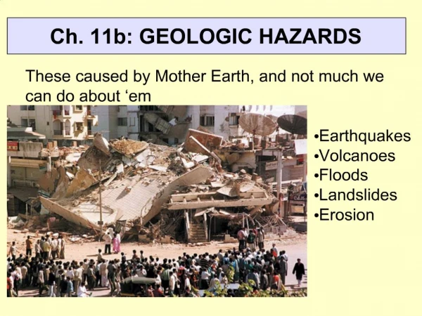
Natural Hazards • Almost every imaginable natural hazard exists in Southern California. • Southern California is a complex area of differing geologic and hydrologic conditions representing many differing hazards. • Hazard identification defines the magnitude and associated probabilities of natural hazards that may pose threats to human interests in specific areas.
Why do we need to study Natural Hazard Areas? Planning! • Where (Identification) • Why (Understanding the system) • What can we do (mitigation) • Prevention
Who’s affected • 35 million California citizens • City, County and State Regulators • Builders and Contractors • Businesses
GIS and Natural Hazards • Through the advanced utilization of GIS, maps of Engineering geology, shallow groundwater, surface water, liquefaction, subsidence, and landslide susceptibility can be produced.
Groundwater • Groundwater is usually the lost component when it comes to defining hazards. • Through GIS, groundwater becomes an important player in hazard management. • Susceptibility maps of Liquefaction, Subsidence and Landslide prone areas
Example of Regional Groundwater Maps • Riverside County shallow groundwater map was derived from over 12,000 water well records • Used for Liquefaction and Subsidence maps
Problems with Regional Groundwater Maps • Comprised of incomplete well records • Incomplete well completion records • Not enough coverage area • Lack of aquifer information
Deep wells vs. Shallow wells • Water levels less than 50-feet of most importance • Most regional maps based on deeper wells • Shallow well records come primarily from environmental investigations
Natural Hazards • Liquefaction • Subsidence
Groundwater and Hazard Identification • Liquefaction – water within 50 feet of surface • Liquefaction – over watering/irrigation • Subsidence – groundwater withdrawal
Liquefaction Susceptibility • Derived from Groundwater and Engineering Geology maps • Identifies susceptible conditions in 4 general categories • Used for geotechnical design-level studies • Used for Zoning and Loss estimation analysis
Causes • Shallow groundwater + fine grained materials + earthquakes • Over watering - irrigation + fine grained materials + earthquakes
Subsidence Susceptibility • Derived from Groundwater and Engineering Geology maps • Identifies susceptible conditions in 2 general categories • Used for geotechnical design-level studies • Used for Zoning and Loss estimation analysis
Subsidence • Un-regulated groundwater withdrawal • Hydro compaction – Hydro consolidation • Oil or gas withdrawal
What can we do better? • Better well records • Better logging techniques • Sharing of records and data • Central housing of all records • Use regional maps for what they were intended
Conclusions • Regional maps should be only used for gross planning purposes • More detailed groundwater information is needed for less populated locations • Need for better information gathering during soil and groundwater investigations