Download
1 / 5
60 likes | 87 Views
Join us on October 17th to explore the similarities and differences between Boomtown and Chandler through making topographical maps. Learn about elevation changes and map representation techniques in this engaging activity.

E N D
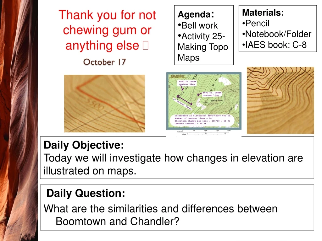
Agenda: • Bell work • Activity 25- Making Topo Maps • Materials: • Pencil • Notebook/Folder • IAES book: C-8 Thank you for not chewing gum or anything else October 17 Daily Question: What are the similarities and differences between Boomtown and Chandler? Daily Objective: Today we will investigate how changes in elevation are illustrated on maps.
Vocabulary • Topography – a collection of landforms in an area • Topographical maps – a map that uses a series of lines to represent the 3D shape of the land surface • Contour interval – the change in elevation between 2 lines • Contour line – connect all the areas of the same height relative to sea level • Stability – a measure of how much the land has changed over a long time (less change means more stable) Textbook: Act 25 pg. C-8
Procedure: • Carefully follow procedures 1-8 with your group. • **Make topo map and answer questions on Left side** • AQ 1-4 Activity 25- Making a Topo Map
Learning Goal: to understand the processes of weathering, erosion and deposition and be able to explain how they affect the stability of landforms.