Download
1 / 12
120 likes | 144 Views
This project focuses on using aerial imagery to analyze 3D fluid flow in plumes and assess water resources. By correlating reflective and thermal properties, the study aims to improve prediction accuracy of water constituents like CHL, CDOM, and SM concentrations. The methodology involves creating lookup tables of various spectra and developing hydrodynamic models for sediment distribution. The research evaluates sensor performance and explores quantization impact on error reduction.

E N D
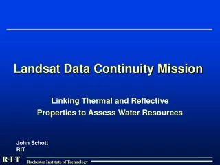
Landsat Data Continuity Mission Linking Thermal and Reflective Properties to Assess Water Resources John Schott RIT
Overview * Use aerial imagery to describe 3D fluid flow in plumes. Visible Image of Charlotte Pier Profile: 3D Model of Fluid Flow and Sediment Transport Thermal Image of Charlotte Pier
The Procedure: Reflective • 3 major constituents in water: CHL, CDOM, SM. • Varying the concentrations of the 3 constituents results in different reflective spectra.
The Procedure: Reflective • We can create a LUT of the various spectra. • We use the LUT to tell us the concentration of the 3 constituents in an imaged water pixel.
The Procedure: Reflective ST image data λ TRUE min [(ST - SP)2 ] FALSE LUT SQ Error [CHL] [TSS] [CDOM] [ C ] [CDOM ] [ SM ] Sp predicted
The Procedure: Thermal Data • We want to develop a hydrodynamic model of subsurface flow. • Invert image data to surface temperatures. • Varying Inputs (flow rate, met data, etc) of hydrodynamic model, we can use thermal data to “calibrate” model.
The Procedure: Thermal Data • Use hydrodynamic model to predict 3D distribution of sediment in receiving waters. • Use reflective data to “calibrate” prediction. Adjust loadings until predicted optical properties match observation.
Where Are We Now? AVIRIS Resample ETM+ Hydrolight NEXT
Where are we now? • How does each sensor perform in detecting a pixel’s concentration of the 3 constituents? • 200 pixels tested and each sensor’s performance evaluated.
Where are we now? • AVIRIS has smallest RMS error followed by Next, then ETM+. • We want to retry process with quantization. • Does 12-bit quantizer in ‘Next’ further drive down RMS.
Where are we now? • Above numbers represent the standard deviation of the LUT’s error in picking correct constituent concentration. • We want to retry process with quantization. • Does 12-bit quantizer in ‘Next’ further drive down standard deviation.