Download
1 / 13
150 likes | 280 Views
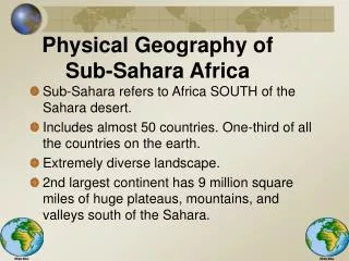
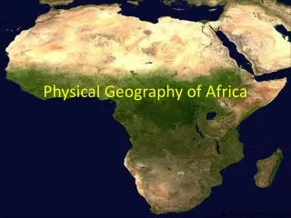
Physical Geography of Africa South of the Sahara. I. The Land. Region has almost 50 countries A. Landforms 2 nd largest continent 1. Continent of Plateaus One gigantic plateau Narrow coastal plains Escarpments separate coasts and plateaus Cataracts (waterfalls)

E N D
I. The Land • Region has almost 50 countries • A. Landforms • 2nd largest continent • 1. Continent of Plateaus • One gigantic plateau • Narrow coastal plains • Escarpments separate coasts and plateaus • Cataracts (waterfalls) • Average elevation: 2,000 ft.
A. Landforms cont. • 2. Mountains and Highlands • Few mountains • Eastern highlands • Ethiopia to the Cape of Good Hope • Drakensberg and Ruwenzori Mts. • Mt. Kenya and Kilimanjaro (volcanic) • 19,340 ft. • 3. Great Rift Valley • Africa is splitting • Y-shaped trench from the Jordan to the Zambezi River • Cracks and faults
B. Water Systems • 1. A Chain of Lakes • Lake Victoria • 2nd largest freshwater lake • Lake Tanganyika • Longest freshwater lake (420 miles) • Lake Malawi • Distinct fish • Lake Chad • No outlet to the sea • Lake Volta • Man-made
B. Water Systems cont. • 2. Rivers and Basins • Nile River • 4,160 miles • Starts at Lake Victoria • Congo River • 2,700 miles • 10 million gallons per second • Hydroelectricity potential • Niger River • 3rd largest • 2,500 miles • Zambezi River • Empties into the Indian Ocean • 18, 297 feet wide • Victoria Falls
B. Water Systems cont. • 3. Waterfalls • Victoria Falls • 1,640 ft. • David Livingston the 1st European to see them • Twice as tall as Niagara Falls
C. Natural Resources • Diamonds • Dem. Rep. of the Congo and S. Africa • ½ of the world’s gold reserves • S. Africa and the Great Rift Valley • Copper in central Africa • Oil in Nigeria • Uranium, manganese, cobalt, and zinc • Waterfalls and sunlight
II. The Climate and Vegetation • A. Diverse Continent • All of Africa within 35 degrees of the Equator • Still a wide variety • B. Climate Regions • 1. Deserts • 2/5 of Africa • Namib, Kalahari, and Sahara Deserts • 2. Desert Oases • Groundwater • Okavango River delta • Largest inland delta
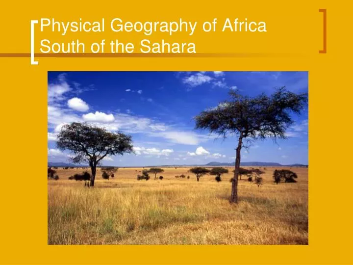
B. Climate Regions cont. • 3. The Sahel • Grasslands bordering deserts • A long, dry season and a short, wet season • Drought has brought famine and growing deserts • 4. Tropical Savanna • 30-60 inches of rain • Elephant grass, 15 ft. • Serengeti Plains and Nairobi Natl. Park
B. Climate Regions cont. • 5. Tropical Rainforests • Near the Equator • Rains leach soil • Poor farming • Cocoa, rubber, palm-oil, and logging threaten them • 6. Moderate Climates • Highlands of Kenya • Southern tip of Africa