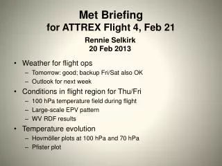
Flight Weather Briefing: Convection and Trough Impacts Across Texas - August 8, 2013
110 likes | 221 Views
This briefing outlines the weather conditions affecting transit flights on August 8, 2013. A positioned upper-level trough off the West Coast is expected to create impacts similar to previous days. Scattered thunderstorms are predicted across central Texas, particularly from the Texas Panhandle to Big Bend. Recent convection patterns and potential MCS development must be monitored, especially near Amarillo. The flight path should generally be clear but requires caution over central Texas due to diurnal convection and prior developments.

Flight Weather Briefing: Convection and Trough Impacts Across Texas - August 8, 2013
E N D
Presentation Transcript
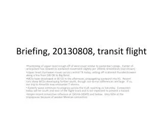
Briefing, 20130808, transit flight Positioning of upper level trough off of west coast similar to yesterday’s progs. Center of anticyclone has slowed its eastward movement slightly per 200mb streamlines (not shown) Upper level shortwave moves across central TX today, setting off scattered thundershowers along a line from SW OK to Big Bend. MCSs have developed in SE CO in the afternoon, propagating eastward into KS. Recent runs show MCSs developing further south, though run-to-run differences are large. If so, our trip to Amarillo may encounter T-storms. Easterly wave continues to progress across the Gulf, reaching us Saturday. Convection today will be south and east of the flight track and is not expected to present a hazard Ample recent convective influence at 150mb (45kft) and below. Very little at the tropopause because of weaker Mexican convection
Forecast issues for today • Convection north of stationary front across TX panhandle/OK • Convection across central TX • Gulf convection • Trough/anticyclone placement
TX convection • MCS developed over CO/NM late yesterday, in fact line of storms from (-105,20) up into western KS/OK apparent in 5Z image. • At 12Z, convection south of front and in Mexico has died off, see strong convection from Western KS to Missouri/Arkansas border – 0Z and even 6Z models are not getting this. • Rapid Refreshes have run-to-run differences, so north TX convection will be an issue that needs to be watched.
Line of storms – Mexican convection last night displaced well east of usual position, and much weaker. Line extends into TX and lines up with budding MCS 12Z image (above). MCS has Propagated eastward. 0Z models missing development over MO/AS border.
Models show a short wave over central TX. Also, ample CAPE and PW values in central TX as well (previous slide). Rapid Refresh shows line of convection developing across TX. Should be scattered, but will need to be watched as we are crossing this three times and peaks around 20-22Z (which is when we are there).
Most recent RUC has significantly more convection over Amarillo. Other versions of the RUC have even more convection over the TX panhandle and OK.
Dry and anticyclonic over our region of the Gulf, so do not expect developing convection (above, 850mb RH at 4 PM Houston time. Note convergence line over central TX.
Flight is generally free of high cloud cover, except for line of convection over central TX and cirrus over OK. Some diurnal convection to the east of our southward flight leg over Louisiana. Gulf is free of convection near landing
Convective influence at 100mb (below) and 150mb (left). Ample recent (2.5 days) convective influence at 150, much less at tropopause. Last night’s Mexican convection has nothing headed our way at 100mb at all.
Placement of CA trough and anticyclone are very similar to yesterday’s forecasts.